Introduction
Over the years many aerial photographs have been taken of Camden. Many were taken for commercial purposes, while others, specifically those taken by Camden Fire Department photographer Bob Bartosz, were made simply for the purpose of chronicling changes occurring in the city. Still others were taken from fixed elevation such as City Hall, by Bob Bartosz and other photographers down through the years. Dave Boone, best known for his tugboat paintings, and Paul Huber have also furnished images seen here.
The photographs will be presented here in more or less chronological order. New images are ALWAYS welcome!
1909 — Camden Looking Northwest
The intersection at bottom center is North Front and Penn Street.
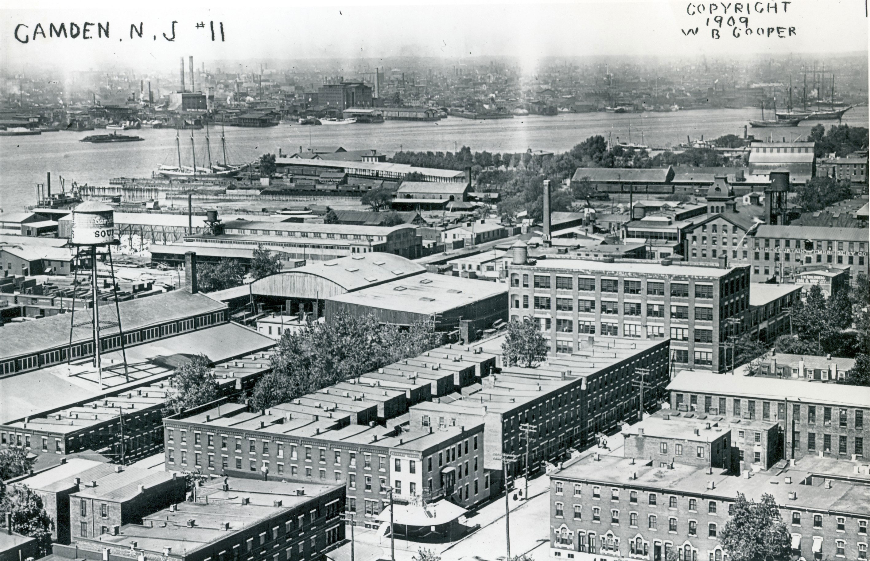
1909 — Camden looking northwest. The intersection at bottom center is North Front and Penn Street.
1925 — The Foot of Cooper Street
The Esterbrook Pen factory at 10 Cooper Street is at bottom left. Buildings on the north side of Cooper are also evident in mid-1920s photos.
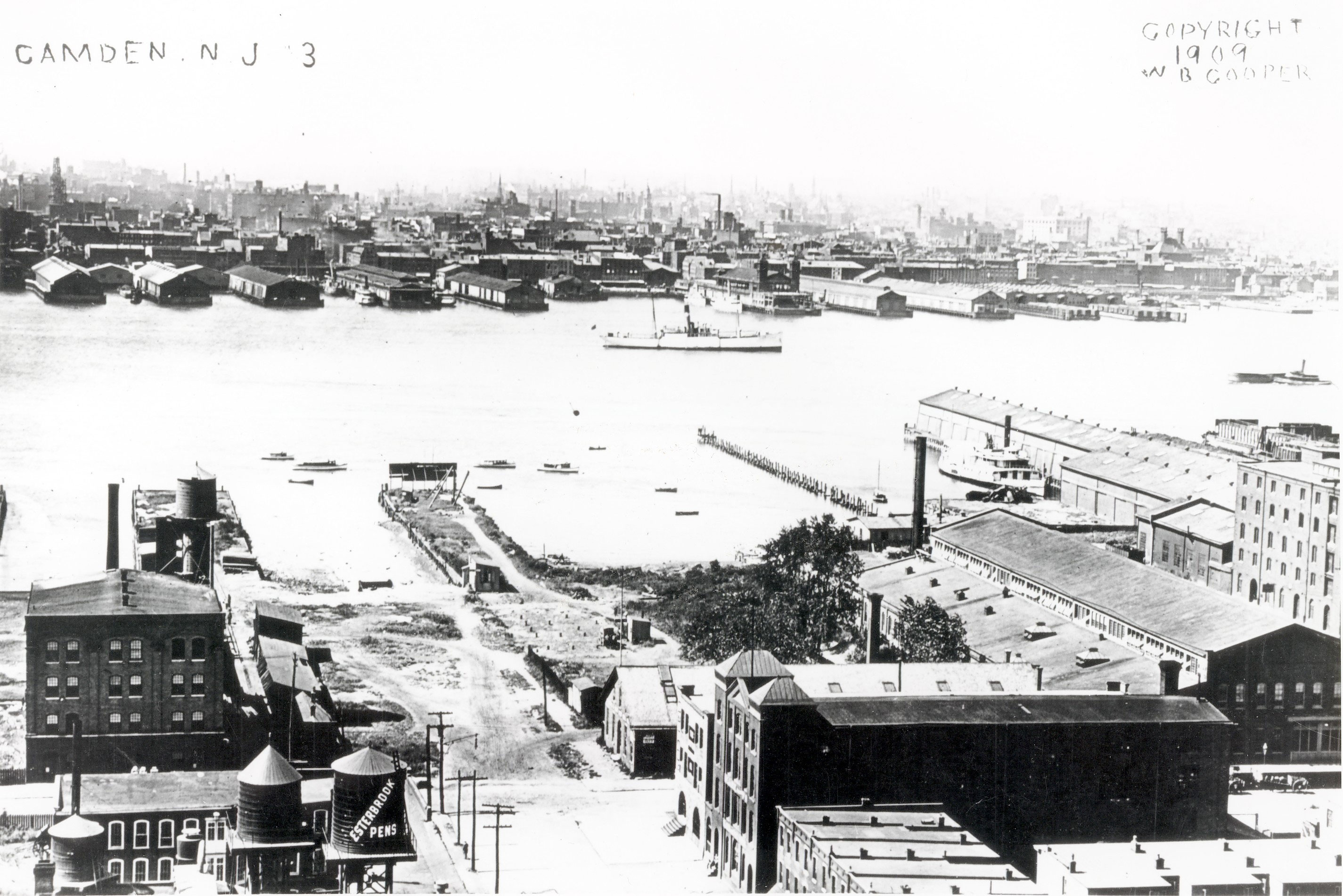
1925 — The foot of Cooper Street. The Esterbrook Pen factory at 10 Cooper Street is at bottom left.
1925 — Camden East of the Delaware River
The Hotel Walt Whitman, newly built, is the tall building at upper extreme right.
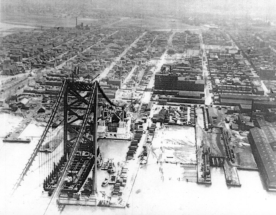
1925 — Camden east of the Delaware River. The Hotel Walt Whitman, newly built, is the tall building at upper extreme right.
1926 — Aerial Photo for Sesquicentennial, South
Important landmarks are labeled.
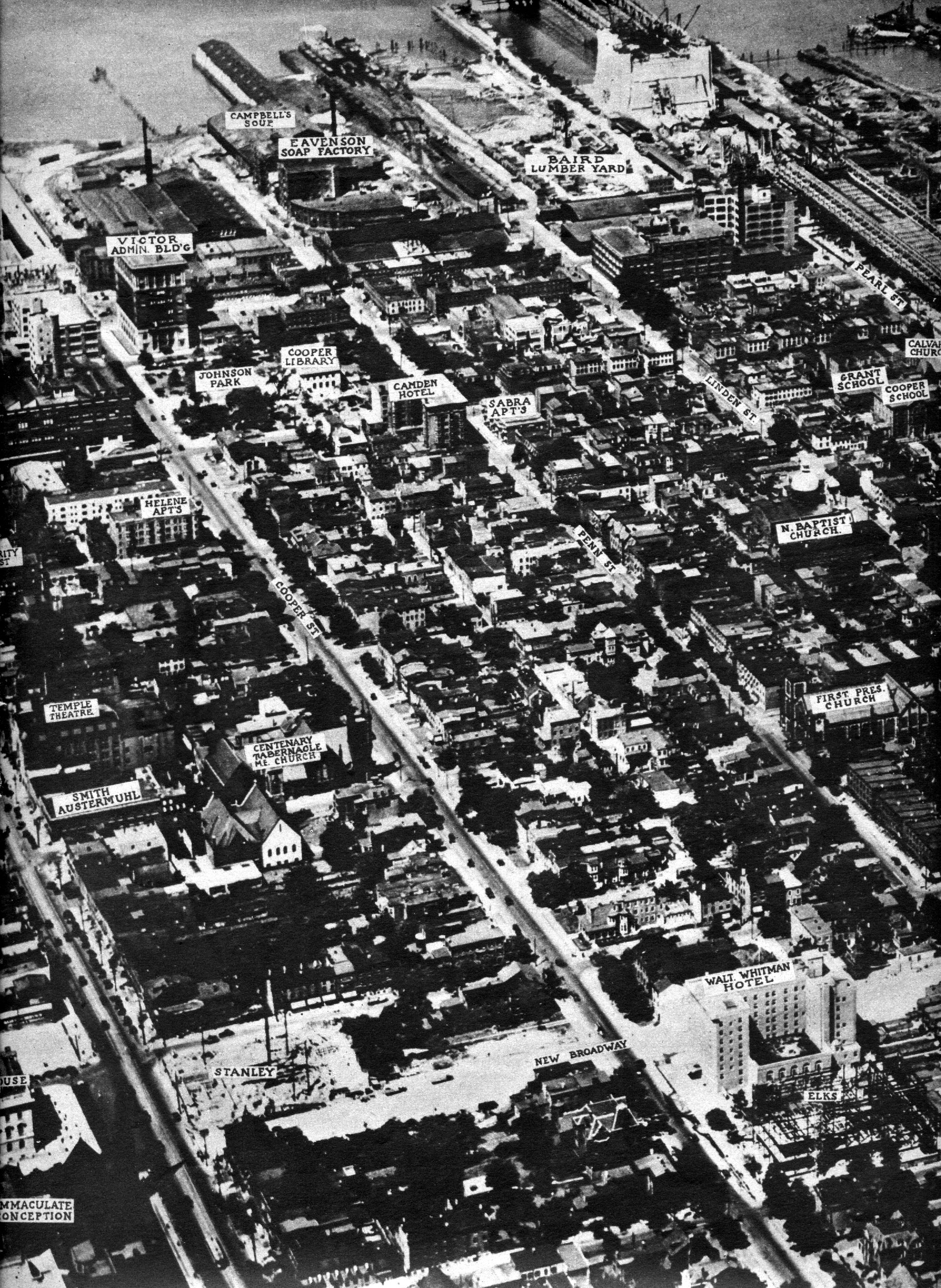
1926 — Aerial photo published for the Sesquicentennial, south section. Important landmarks are labeled.
1926 — Aerial Photo for Sesquicentennial, North
Important landmarks are labeled.
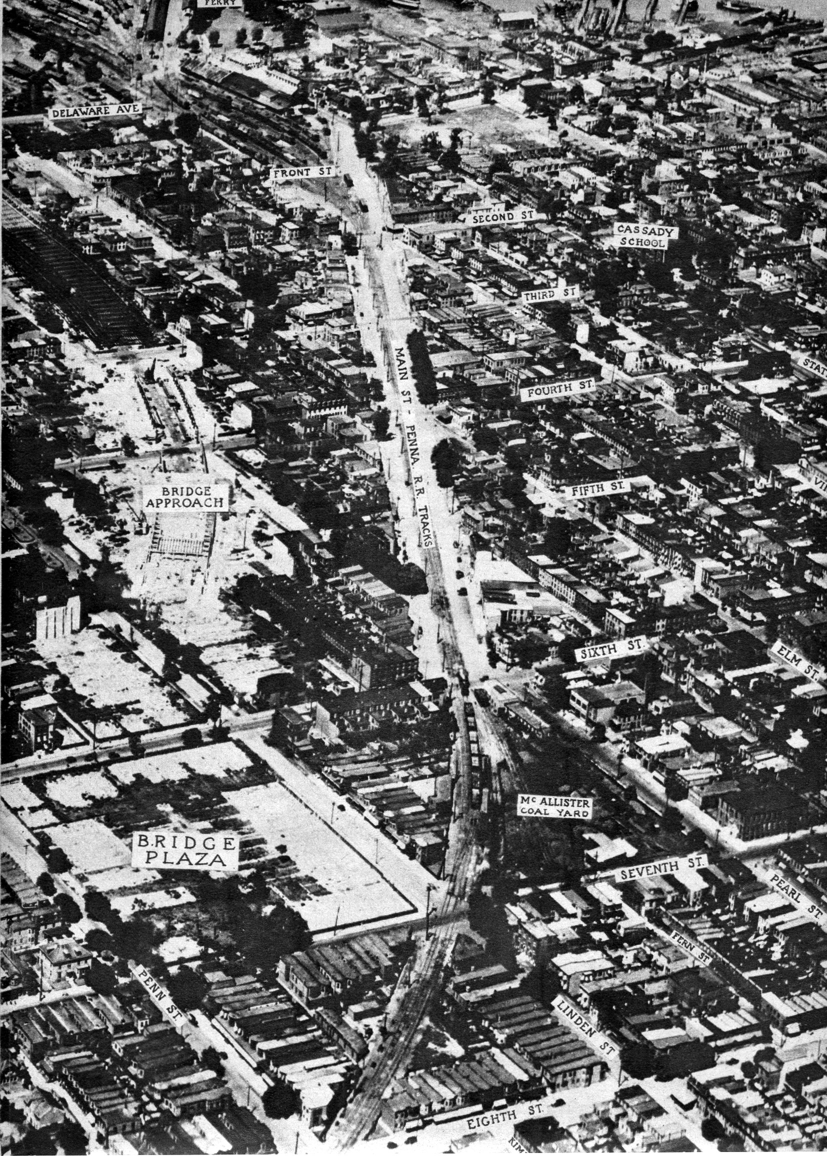
1926 — Aerial photo published for the Sesquicentennial, north section. Important landmarks are labeled.
February 3, 1928 — Looking Northeast from Philadelphia
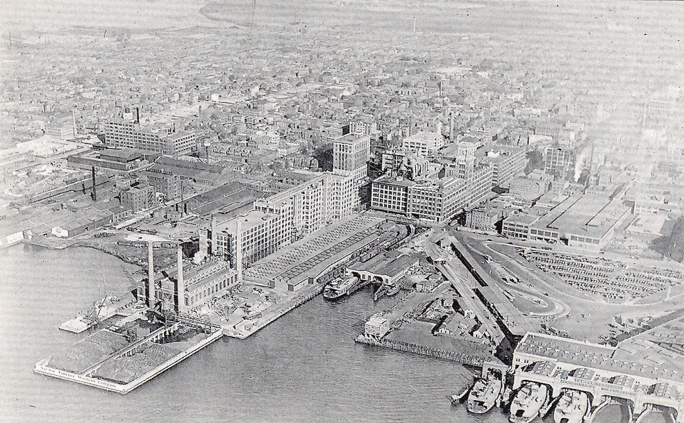
February 3, 1928 — Looking northeast from Philadelphia.
1929 — Looking Southeast from Downtown
County Park, Camden High, Farnham Park, and Central Airport are visible.
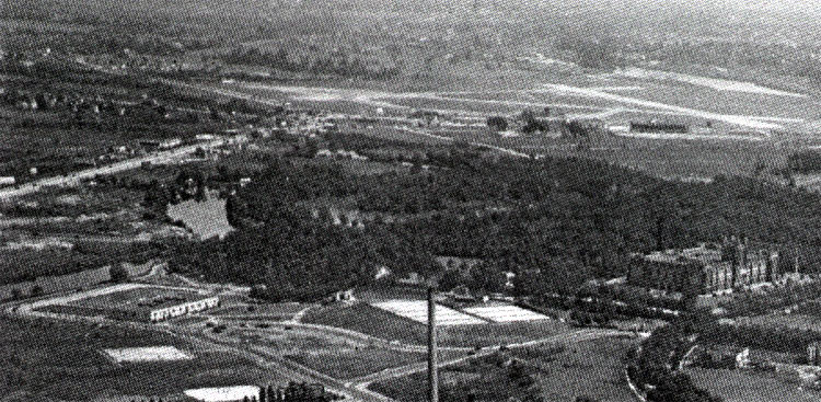
1929 — Looking southeast from downtown Camden. County Park, Camden High, Farnham Park, and Central Airport are visible.
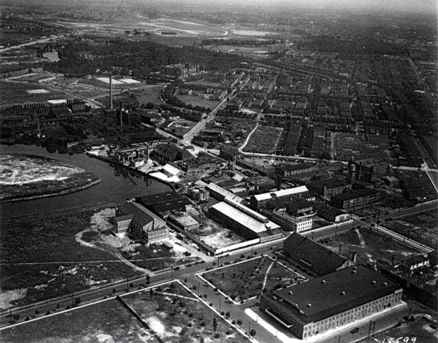
1929 — Looking southeast from downtown. Convention Hall in foreground; Parkside at upper right.
1929 — Parkside and Magnolia Avenue
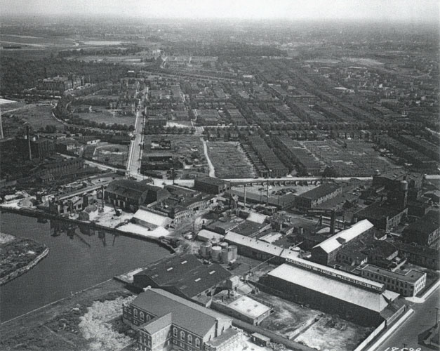
1929 — Parkside. Looking southeast along Magnolia Avenue. Mechling Brothers chemical factory in foreground, Camden High at upper left.
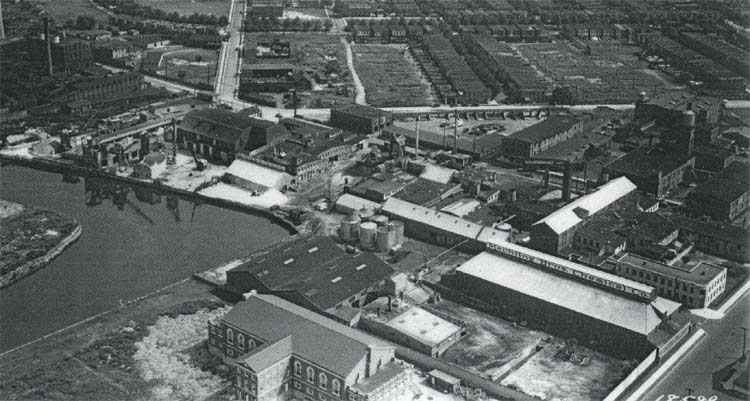
1929 — Looking southeast at the intersection of Pine Street, Walnut Street, and Magnolia Avenue. Mechling Brothers chemical factory in foreground, Park Boulevard across top.
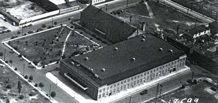
1929 — The original Camden Convention Hall (burned in 1954).
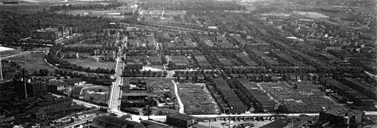
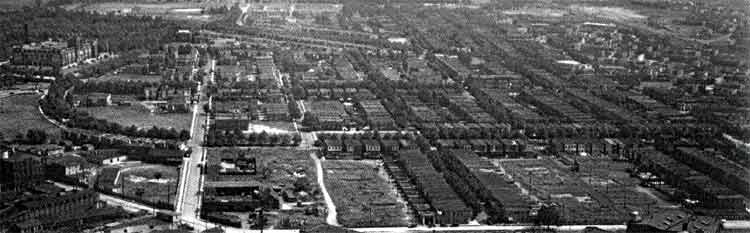
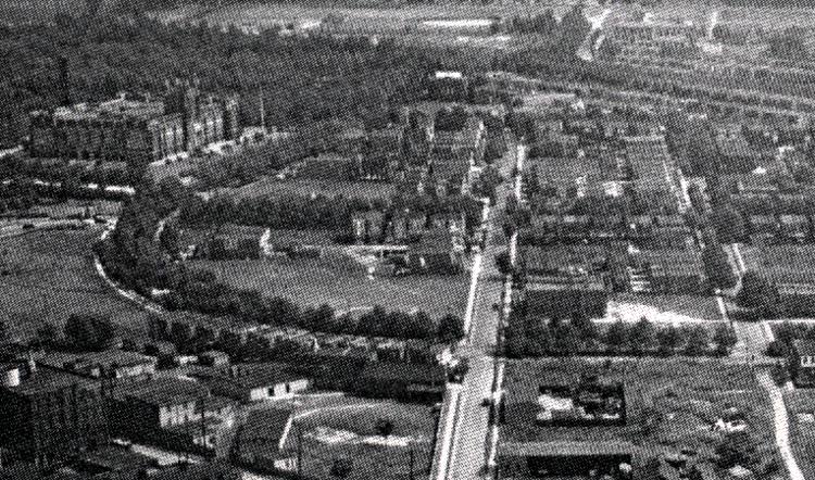
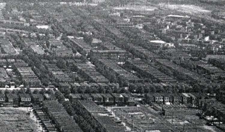
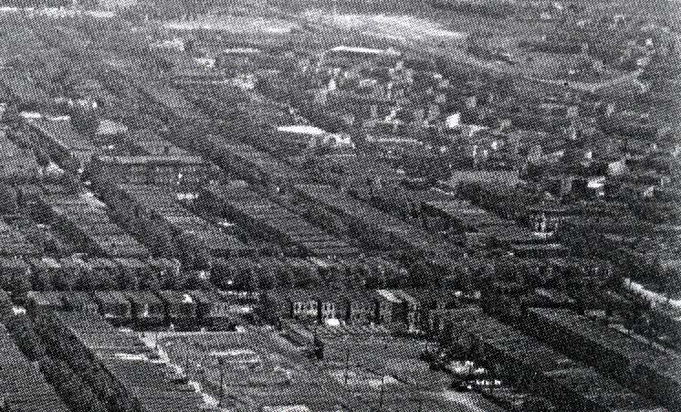
1929 — Parkside.
1929 — Old Camden Cemetery and South Camden
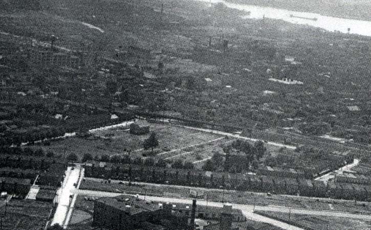
1929 — Old Camden Cemetery. Princess Avenue and rear of houses on Haddon Avenue in foreground.
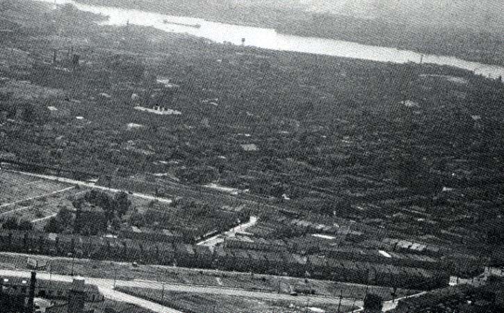
1929 — South Camden. Princess Avenue, houses on Haddon Avenue, and Mount Ephraim Avenue in foreground.
1930s — Looking West from Central Airport
Parkside at upper left; East Camden at upper right; intersection of Baird & Admiral Wilson Boulevards at upper center.
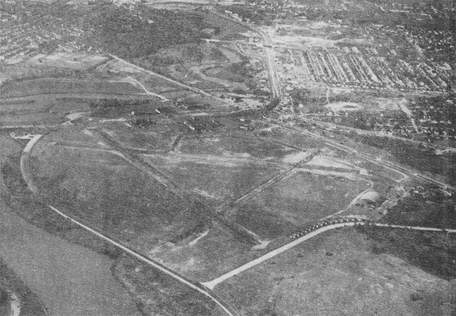
1930s — Looking west from Central Airport. Parkside at upper left; East Camden at upper right; intersection of Baird & Admiral Wilson Boulevards at upper center.
1951 — Looking Northwest over Center City
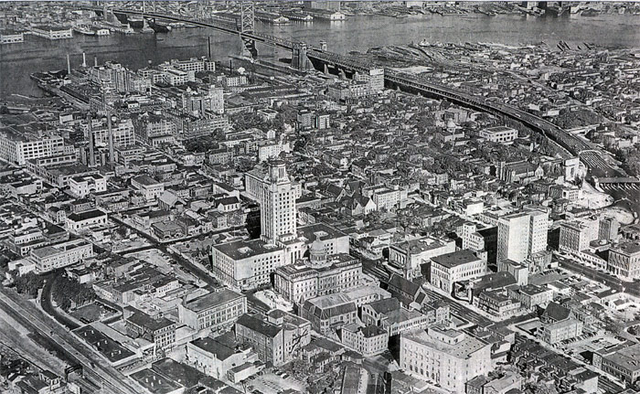
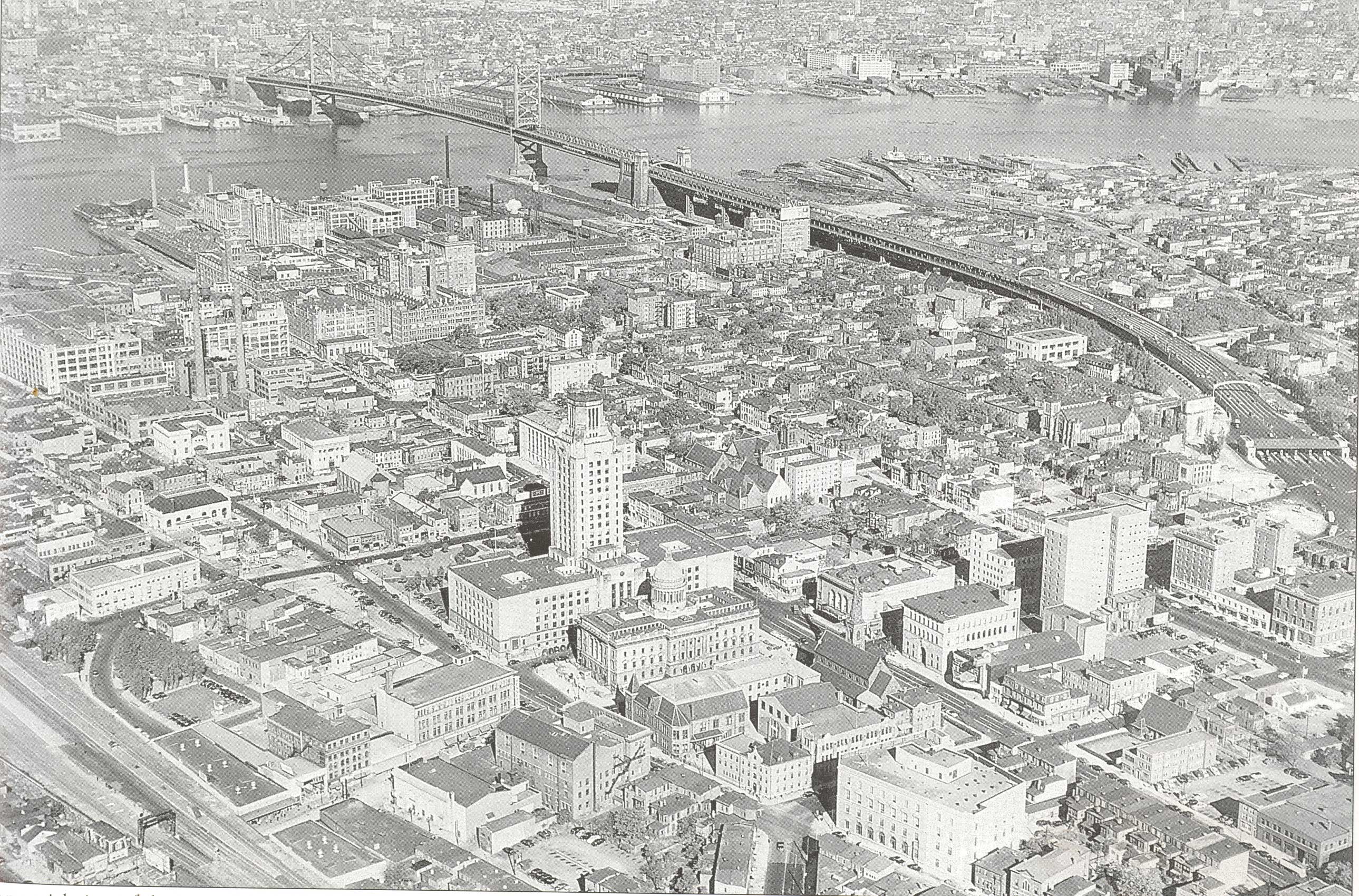
1951 — Looking northwest over Center City.
1952 — Downtown Camden
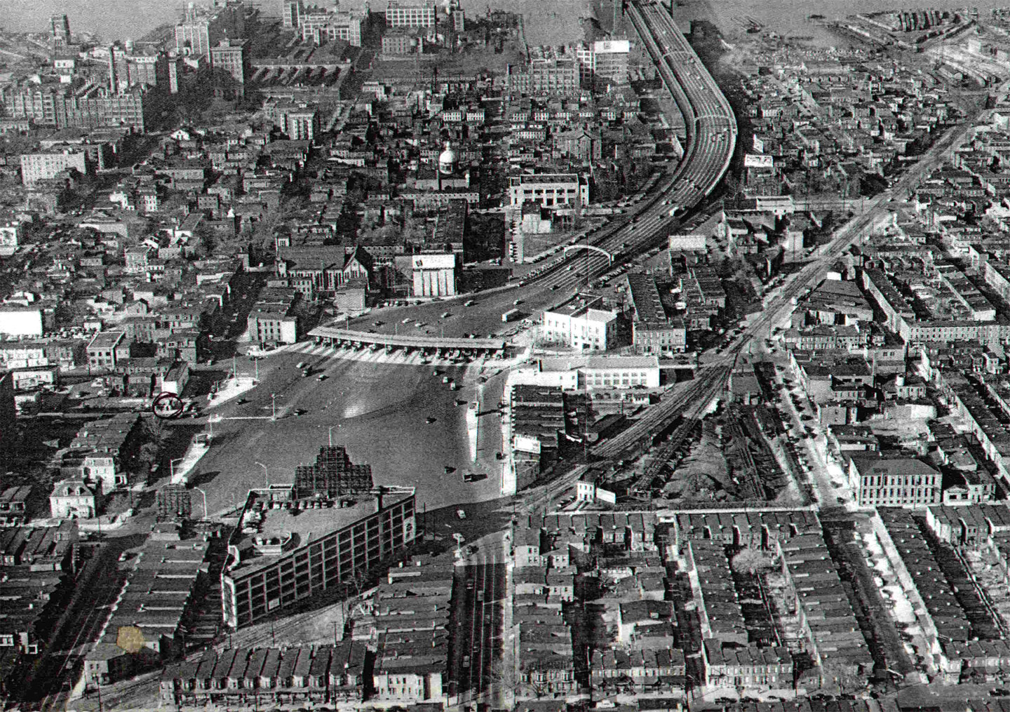
1952 — Looking west from North 8th Street & Linden Street.
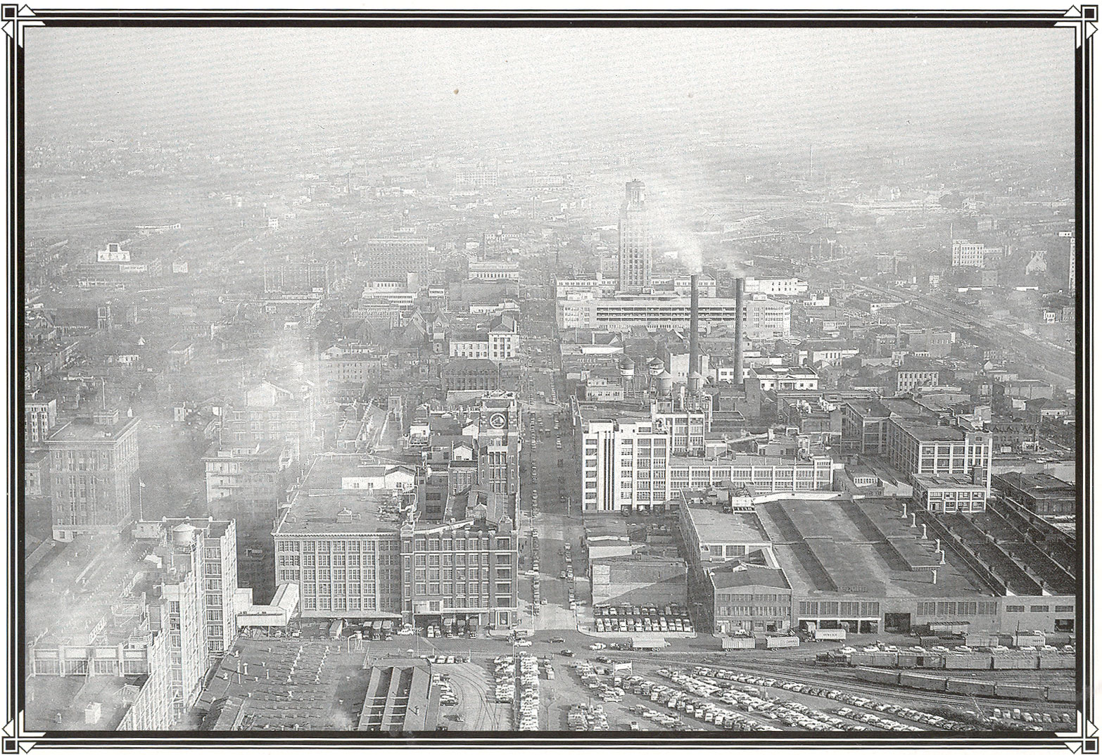
1952 — Looking east along Market Street from the Ferry Terminal.
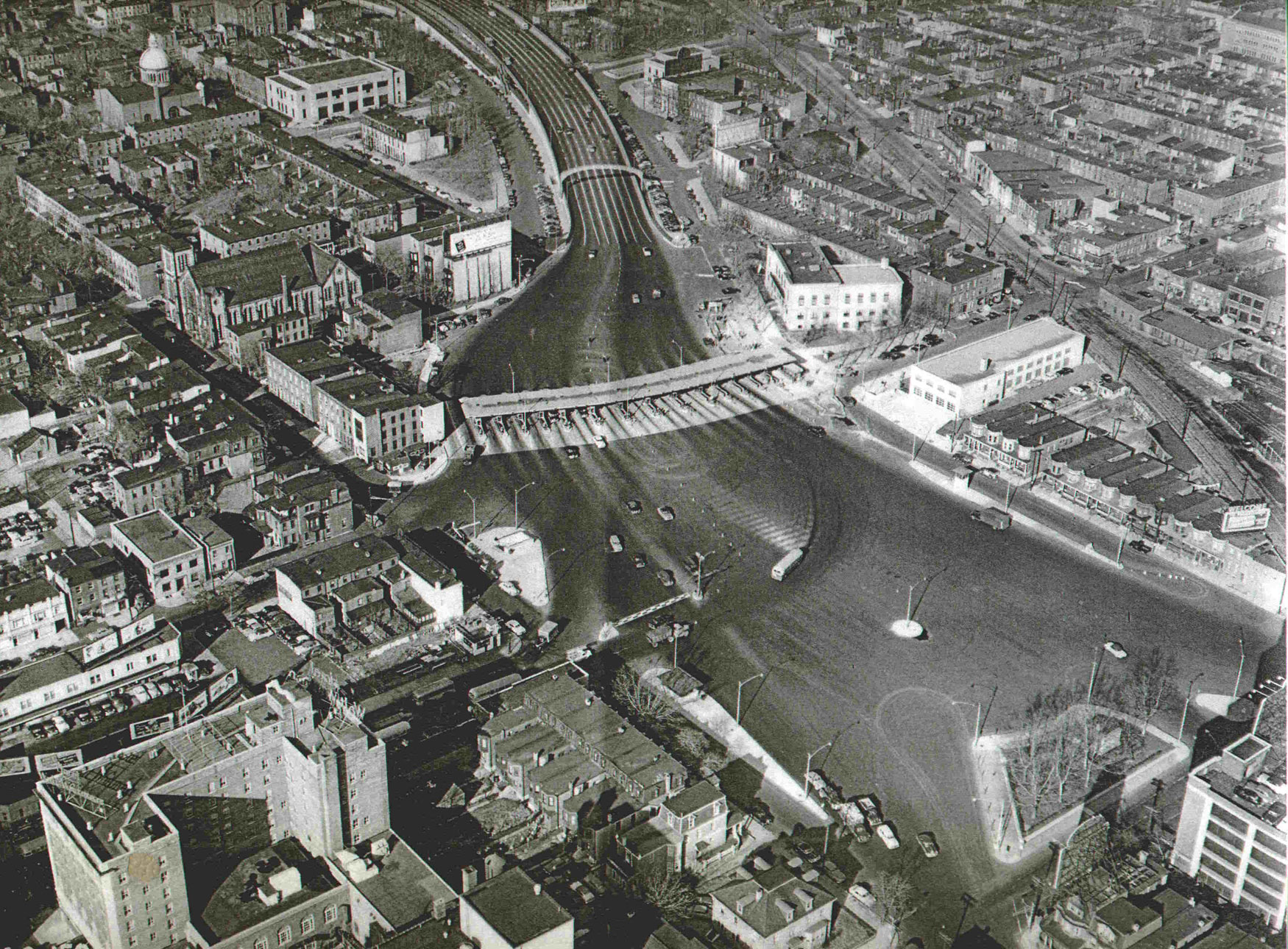
1952 — Bridge Plaza from over North 7th Street & Cooper Street.
1961 — Looking West Along Tracks
The 6th Regiment Armory, known after 1954 as Convention Hall, is at bottom left.
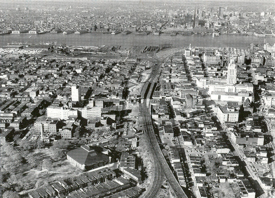
1961 — Looking west along tracks. The 6th Regiment Armory, known after 1954 as Convention Hall, is at bottom left.
1963 — Aerial Views
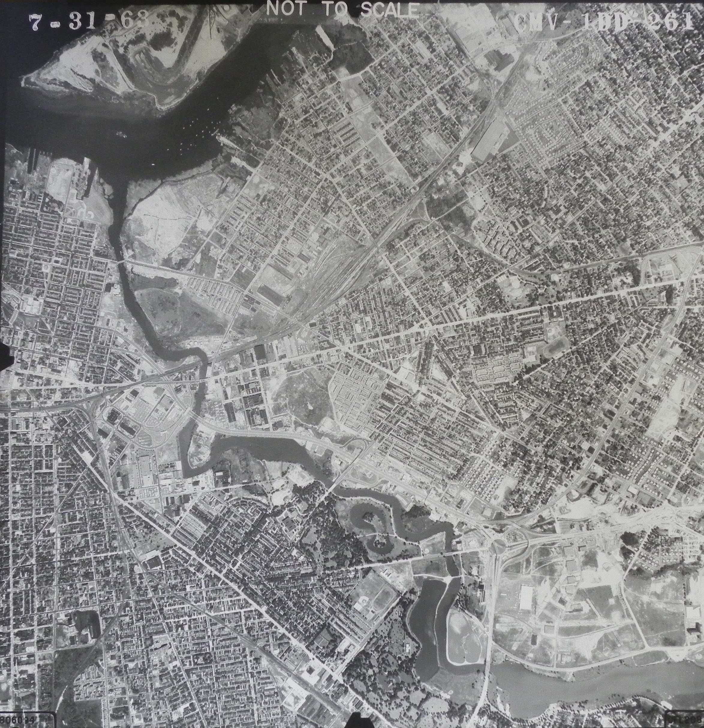
1963 — General aerial view of Camden.
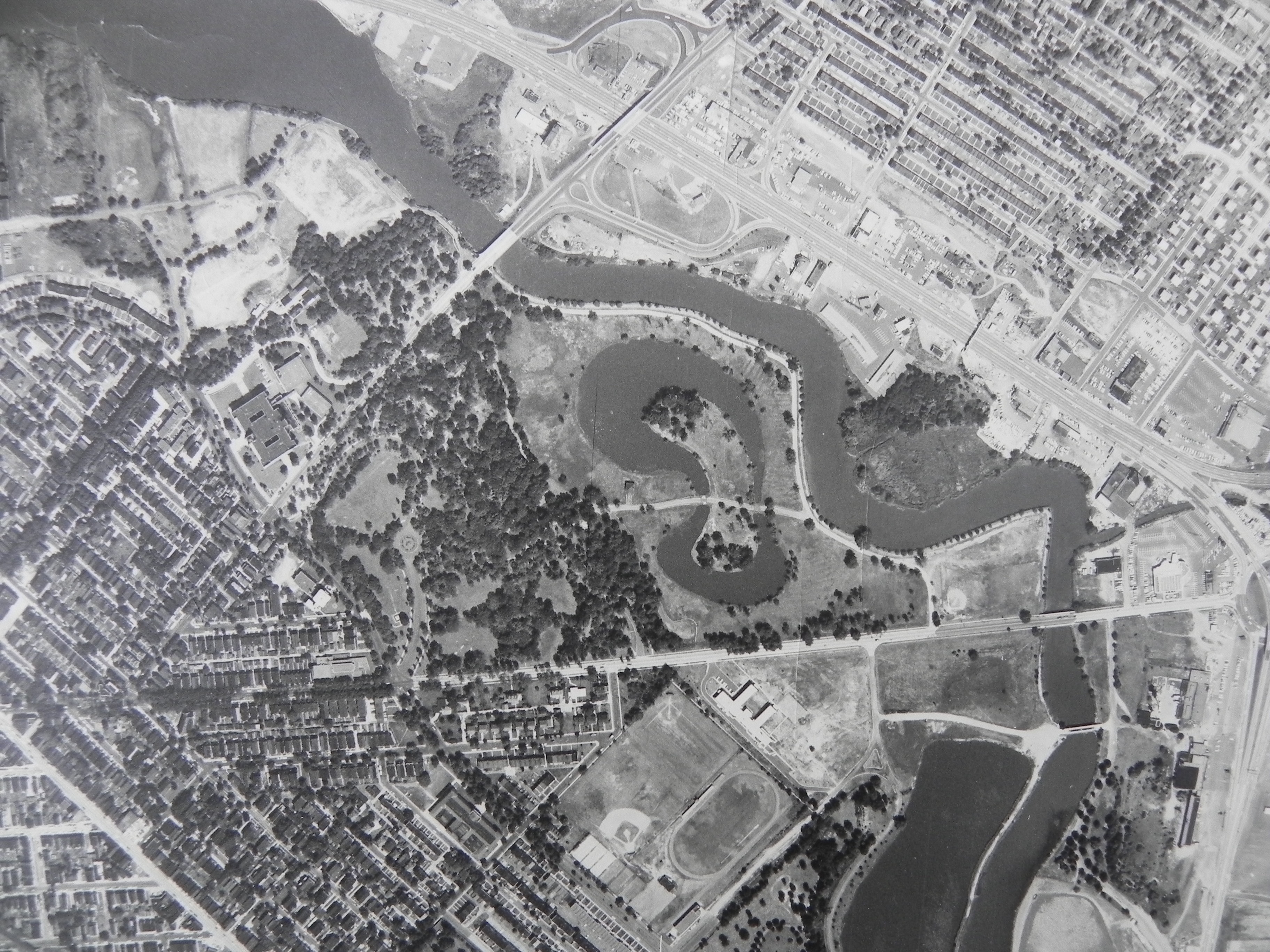
Named: 1963, Parkside, Farnham Park, and Admiral Wilson Boulevard..
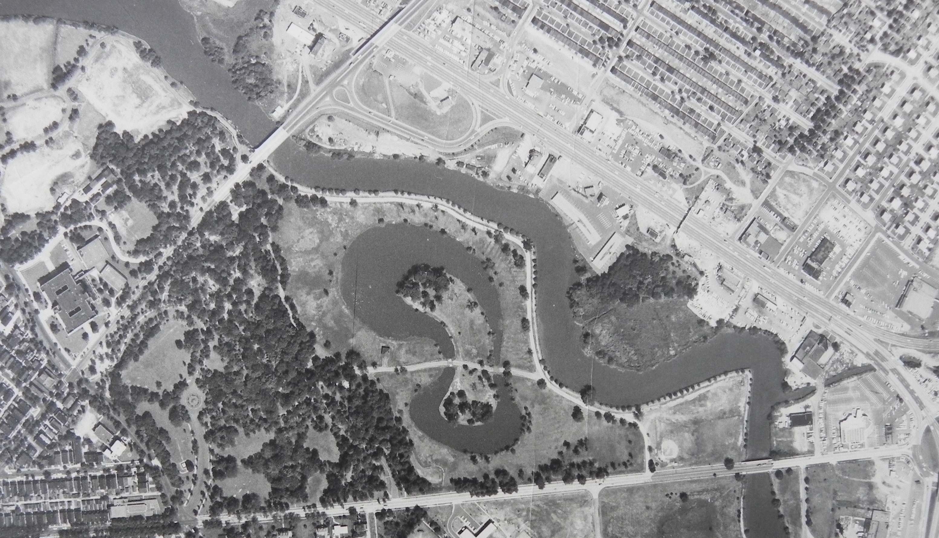
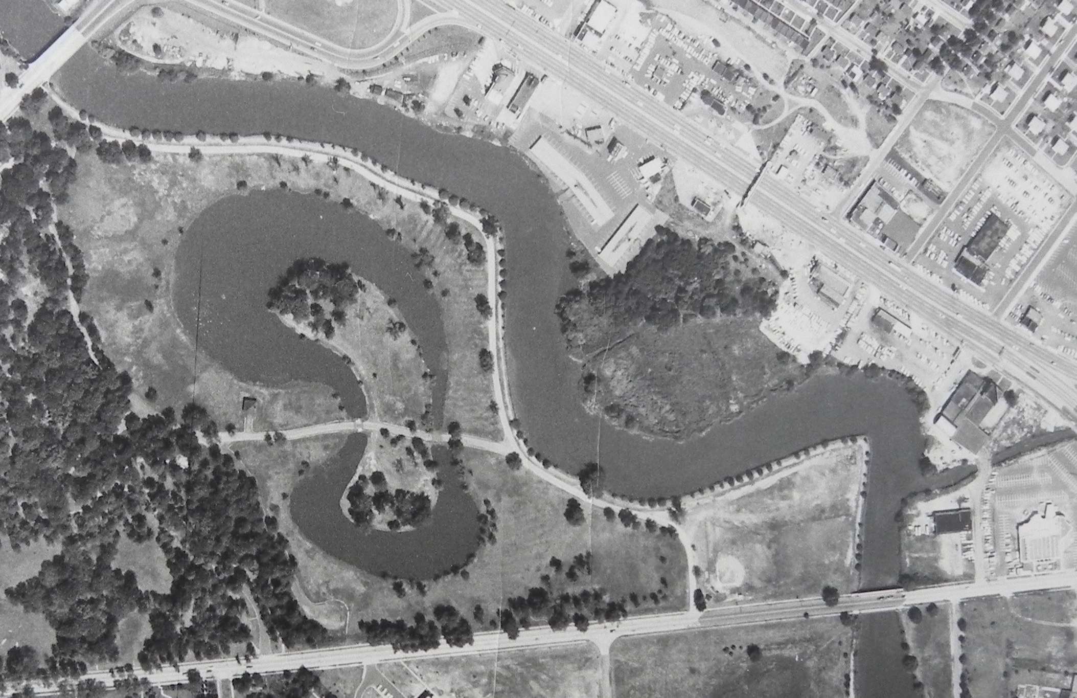
Named: 1963, Farnham Park, and Admiral Wilson Boulevard..
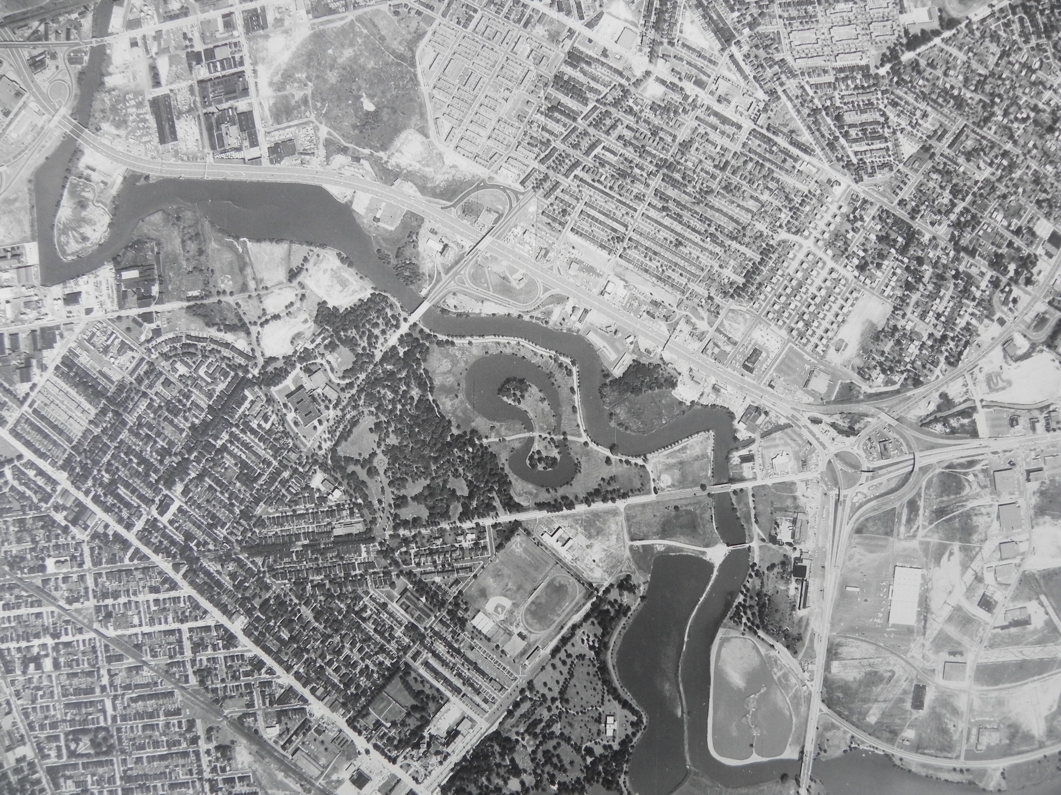
Named: 1963, Parkside, Baird Boulevard, Farnham Park, Admiral Wilson Boulevard, East Camden, and Airport Circle..
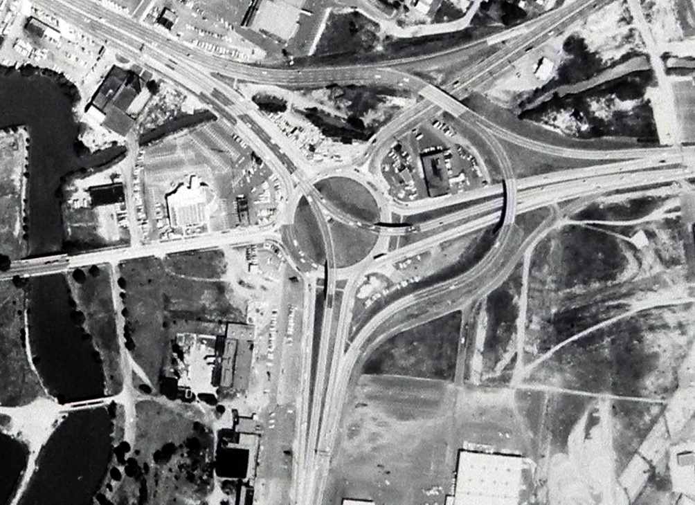
1963 — Airport Circle.
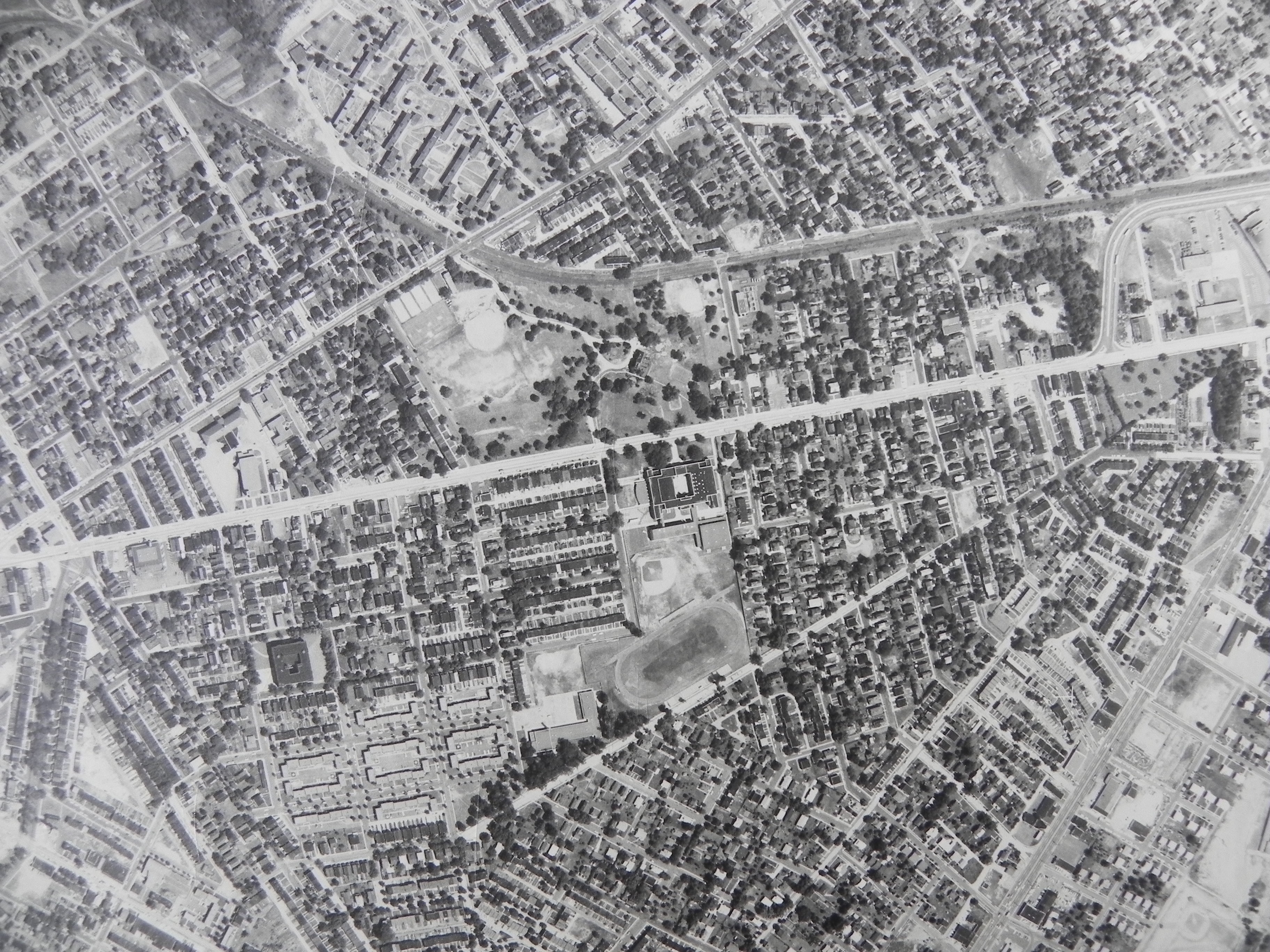
Named: 1963, East Camden, Federal Street, and Westfield Avenue..
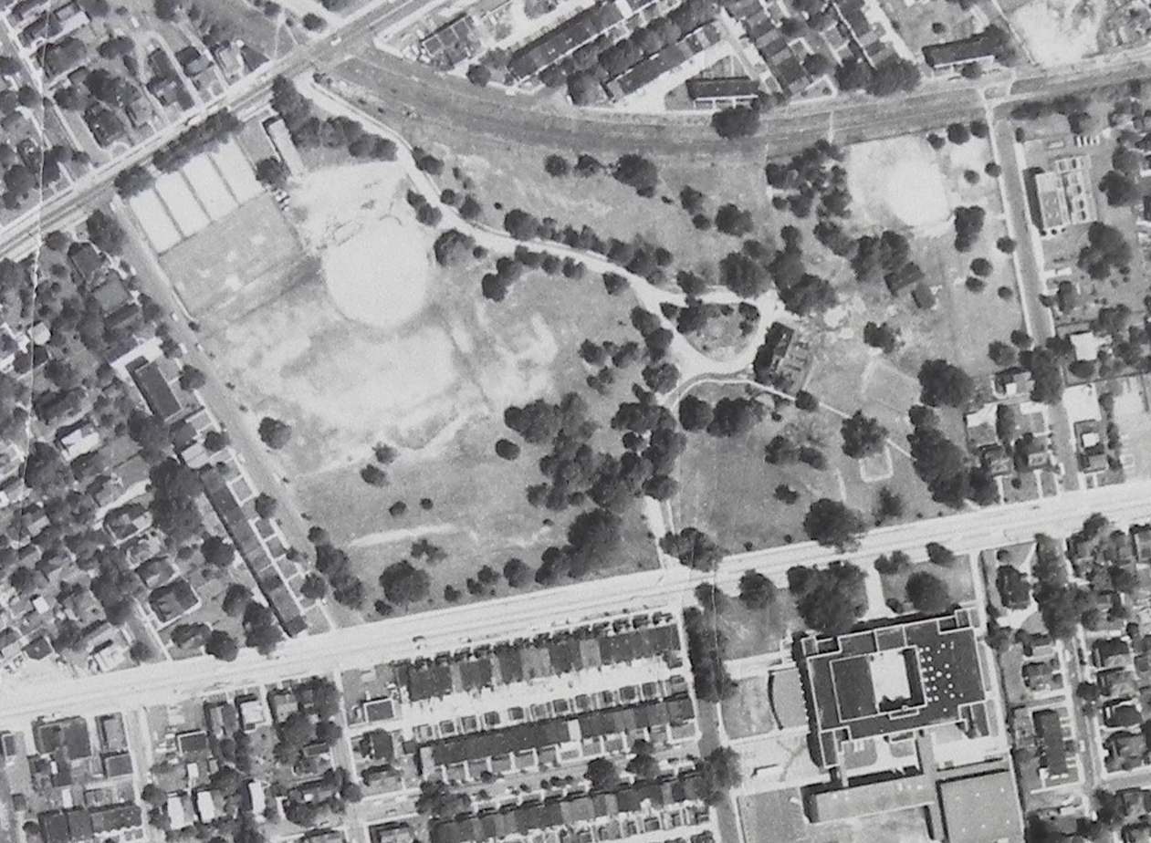
Named: 1963, East Camden, and Dudley Grange..
July 7, 1965 — Cramer Hill
Aerial Photography by Bob Bartosz
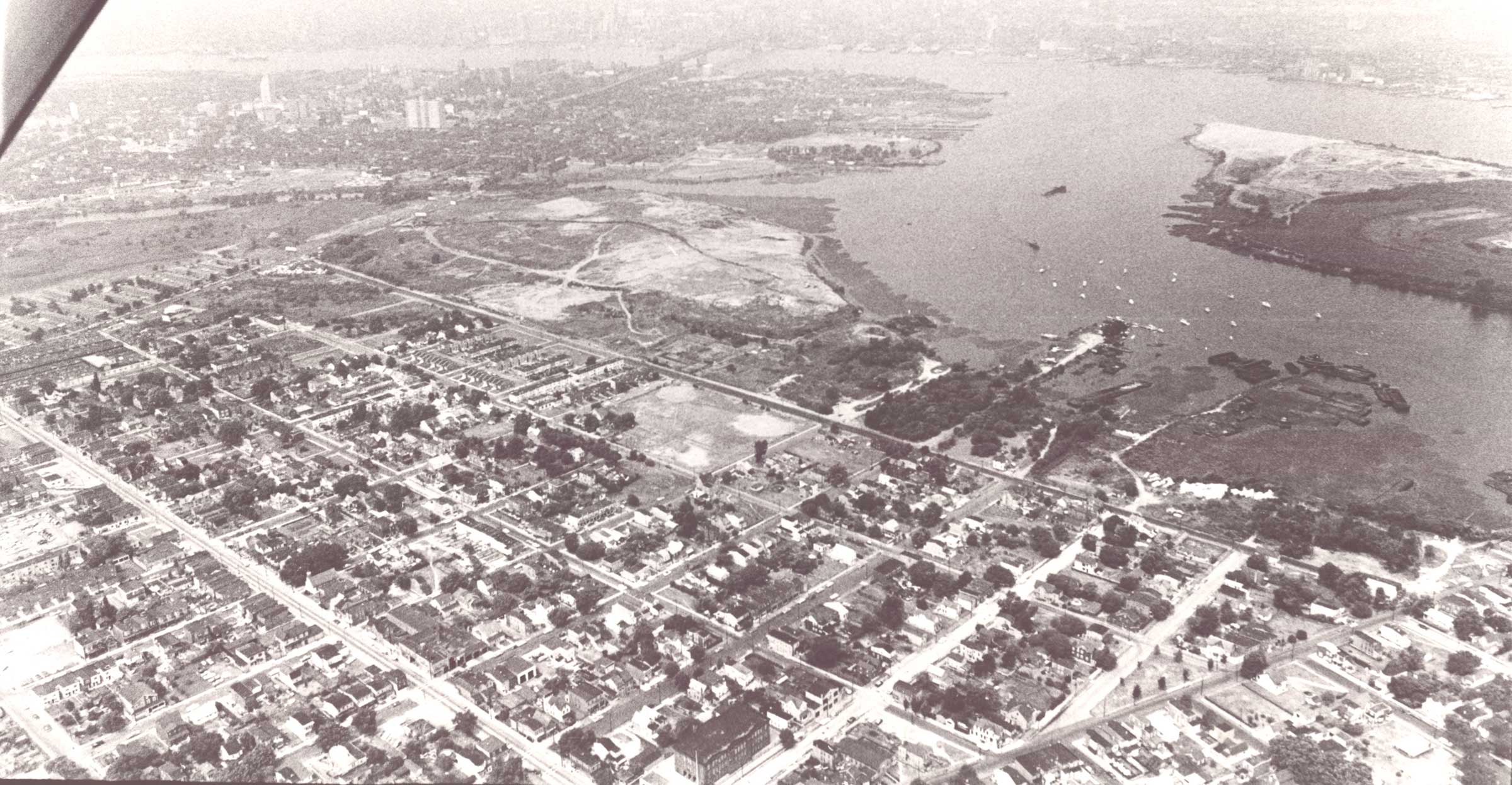
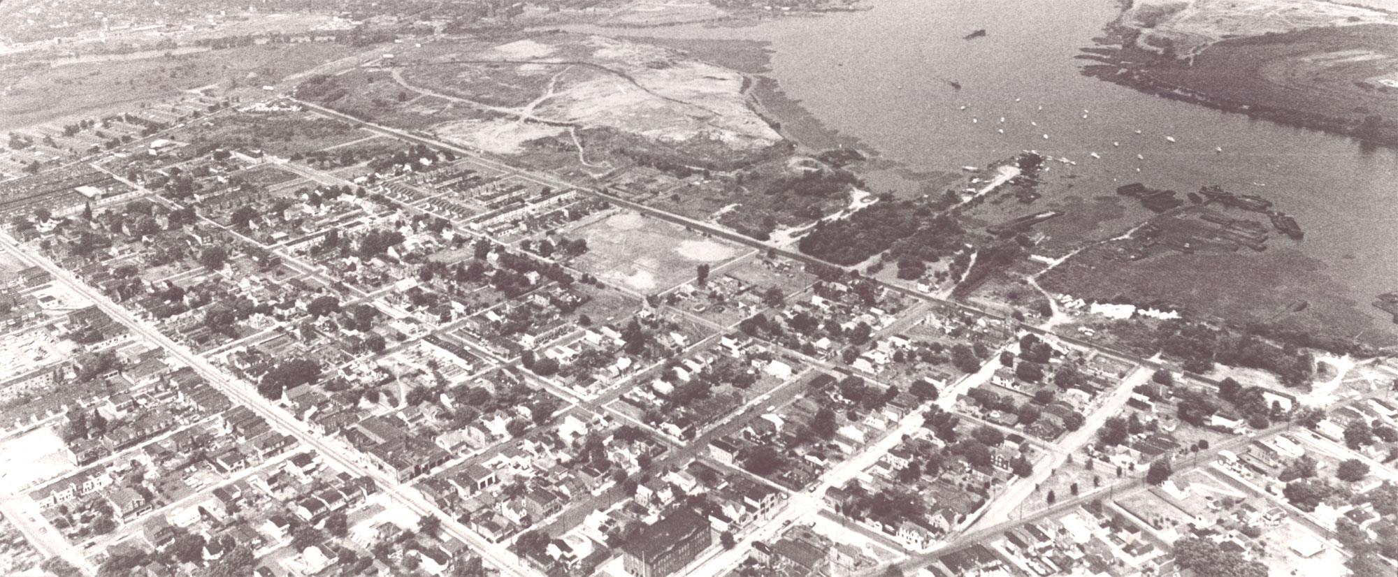
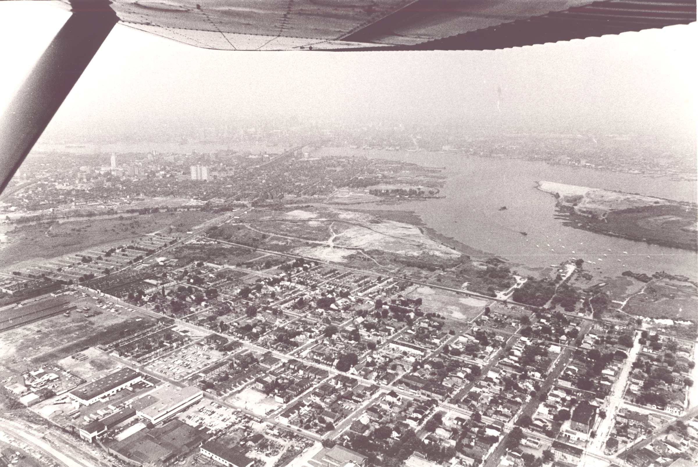
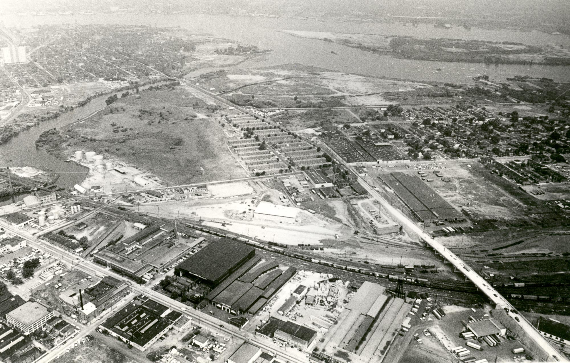
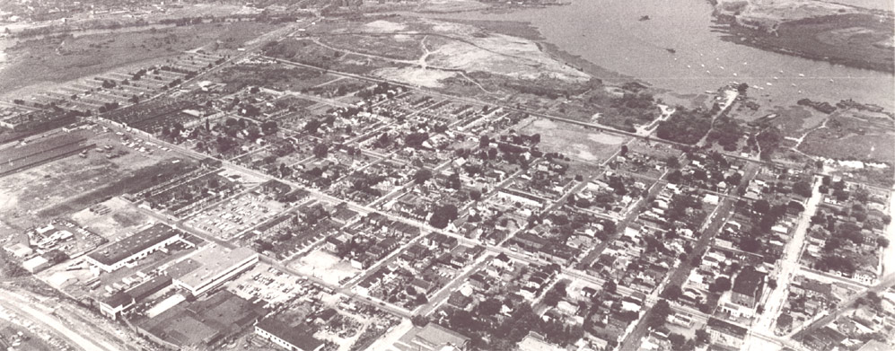
July 7, 1965 — Cramer Hill. Photos courtesy of Bob Bartosz.
July 7, 1965 — 43rd Street
Aerial Photography by Bob Bartosz
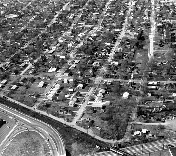
July 7, 1965 — Looking west on 43rd Street from Route 130. The street across the top of this photograph is Westfield Avenue, between North 37th Street in Camden and 43rd Street in Pennsauken. The street on the right of this photo is 43rd Street, which is entirely in Pennsauken. Note the old Camden County Juvenile Detention Home on 43rd Street in the upper right of the picture. Route 130 is at the bottom. Photograph by Bob Bartosz.
July 7, 1965 — North Camden and Center City
Aerial Photography by Bob Bartosz
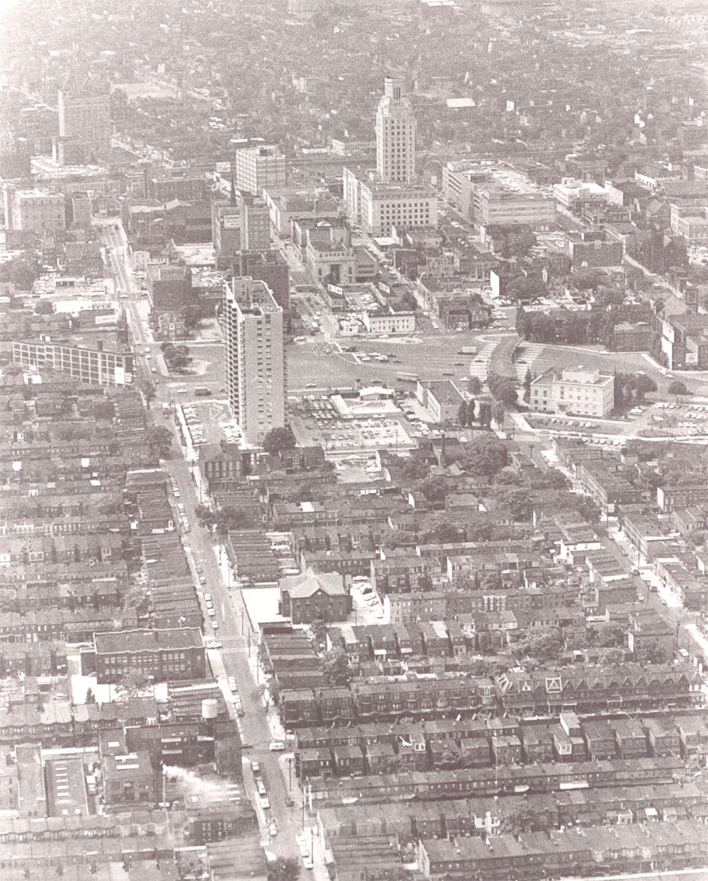
July 7, 1965 — North Camden & Center City. Looking south towards downtown along North 7th Street from over Pyne Point.
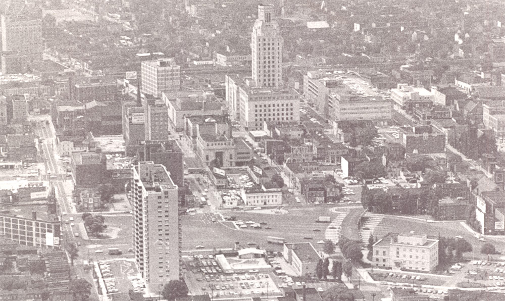
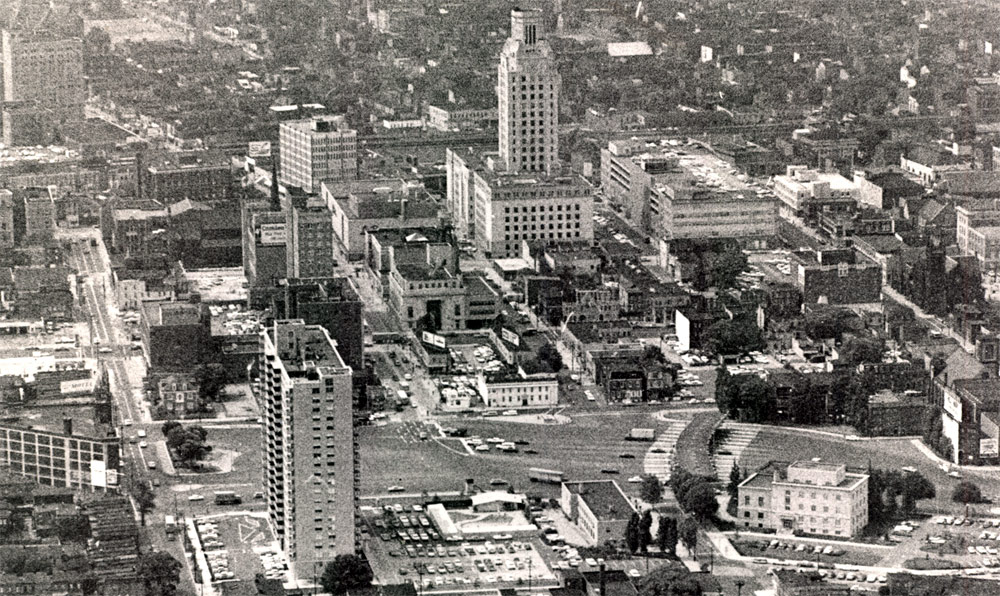
July 7, 1965 — Center City. Northgate I Apartments in foreground at left.
July 7, 1965 — South Camden and Center City
Aerial Photography by Bob Bartosz
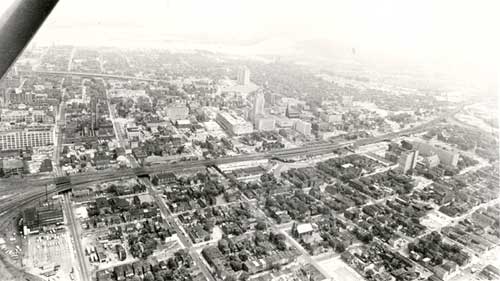
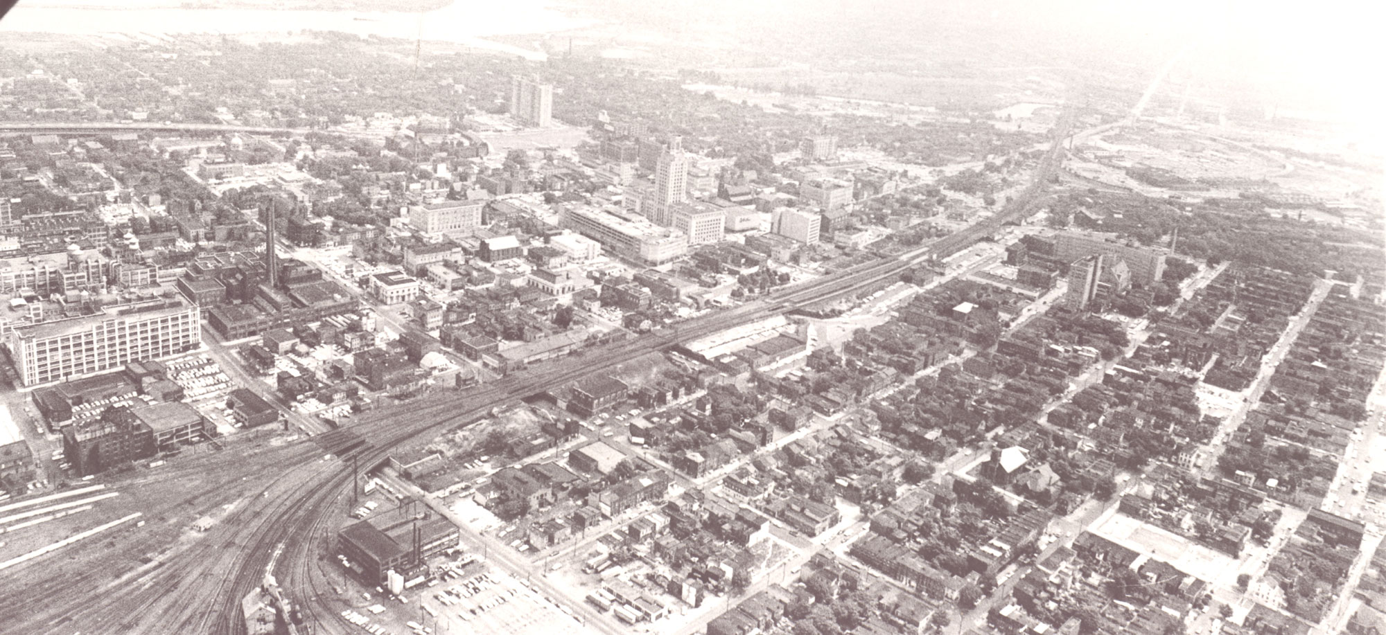
July 7, 1965 — South Camden & Center City. Looking north. First intersection at lower left is South 2nd and Benson Streets.
July 7, 1965 — Center City and North Camden
Aerial Photography by Bob Bartosz
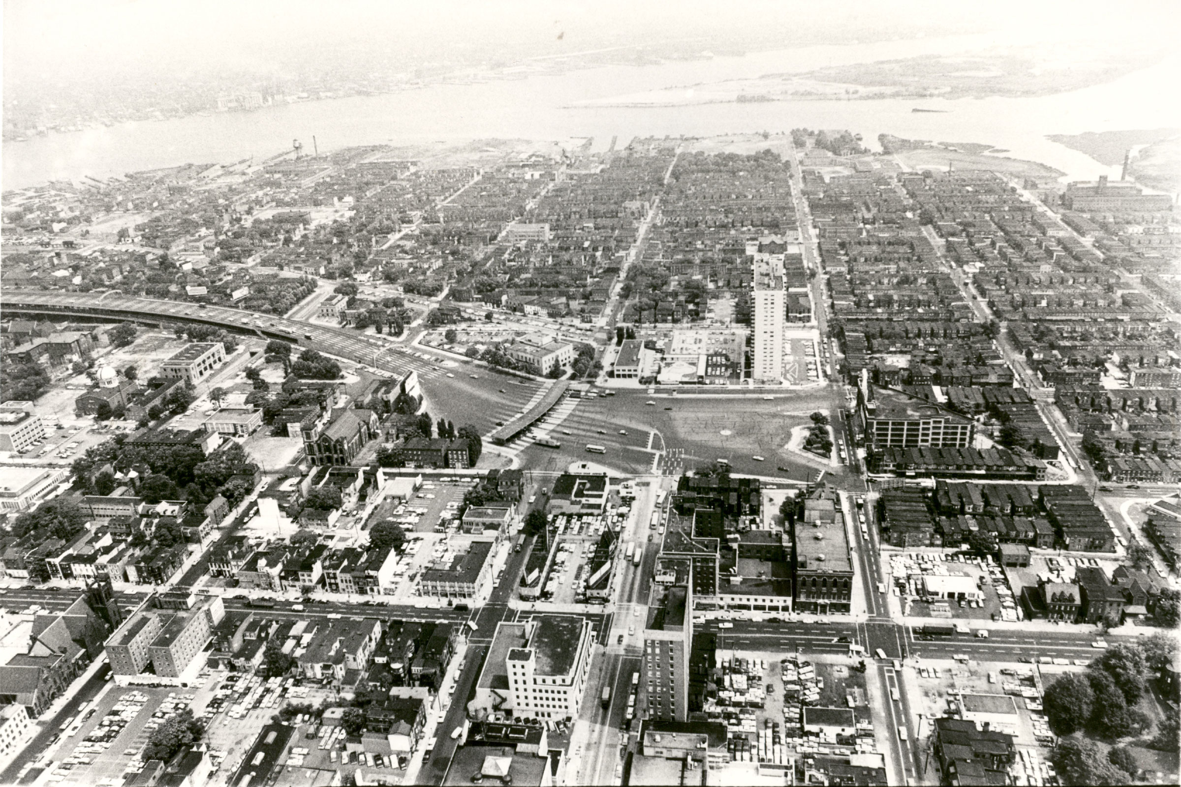
July 7, 1965 — Center City & North Camden. Looking north from over Broadway & Federal Street.
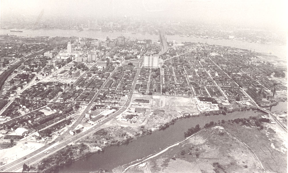
July 7, 1965 — North Camden & Center City. Looking west from over Ablett Village.
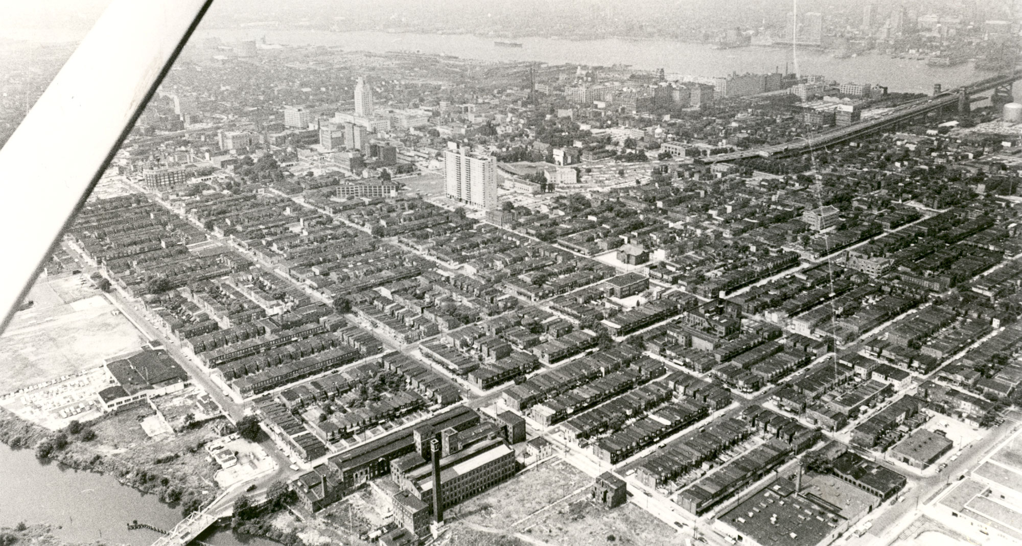
July 7, 1965 — North Camden. Looking southeast from over Harrison Avenue Dump.
July 7, 1965 — Camden Waterfront
Aerial Photography by Bob Bartosz
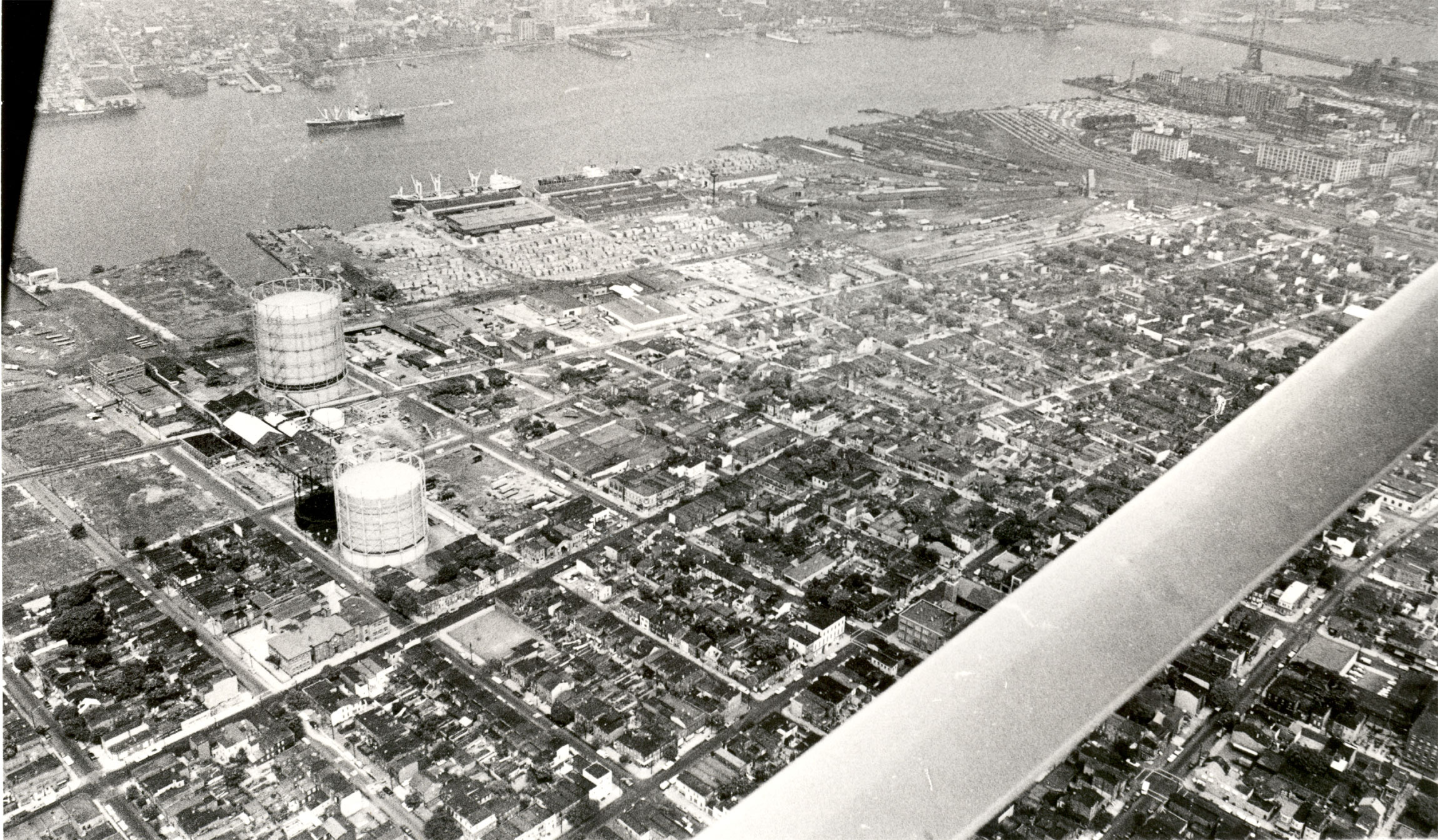
July 7, 1965 — Looking northwest from over Kaighn Avenue near South 7th Street.
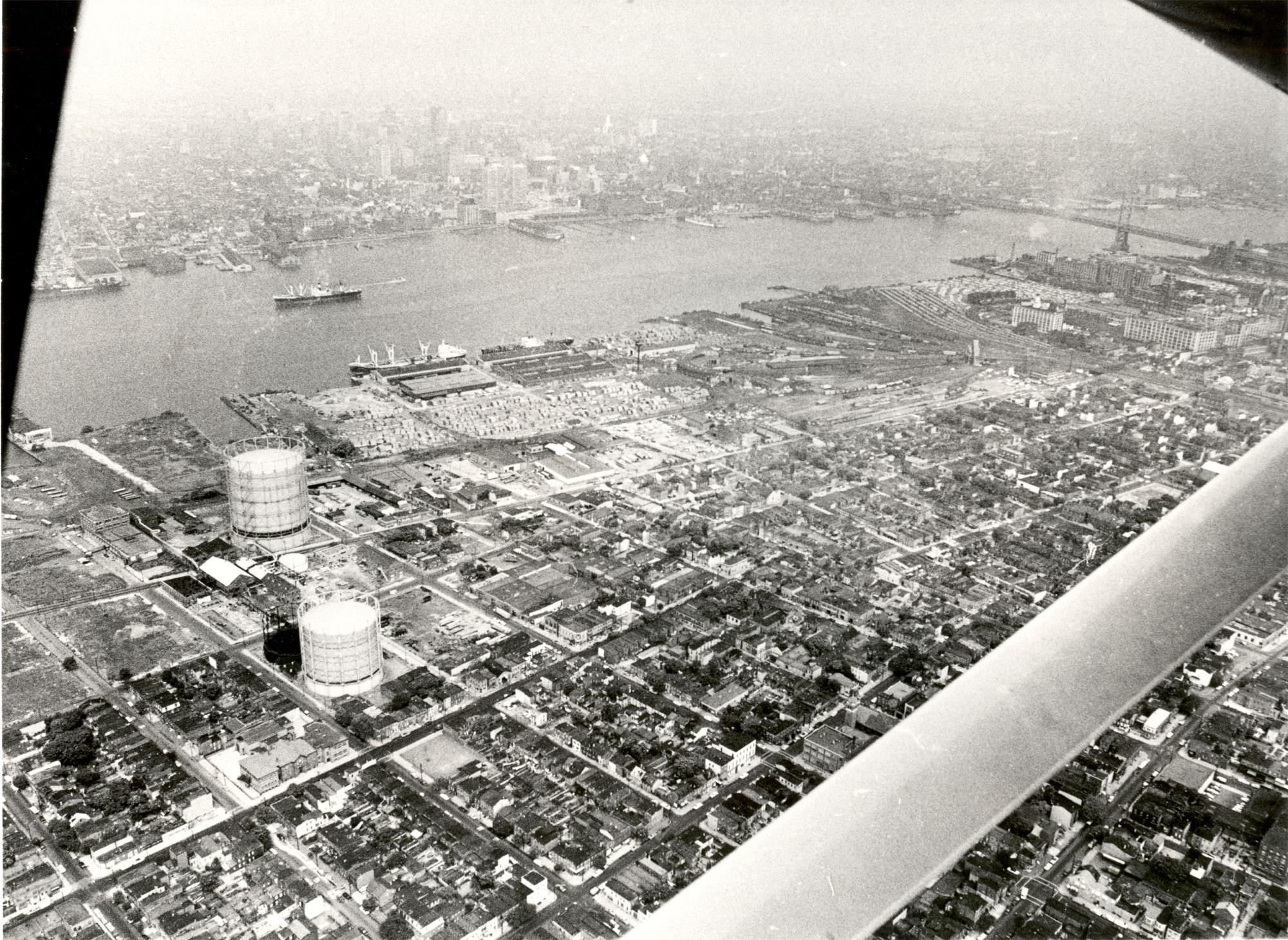
July 7, 1965 — Camden Waterfront south of the Ben Franklin Bridge. Looking northwest from over Kaighn Avenue near South 7th Street.
July 7, 1965 — Route 70 Area
Aerial Photography by Bob Bartosz
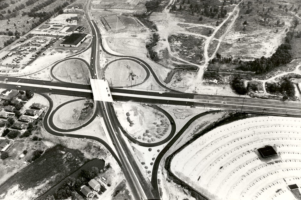
Named: July 7, 1965, Route 70 (East, and West) & Cuthbert Road. Photo courtesy of Bob Bartosz..
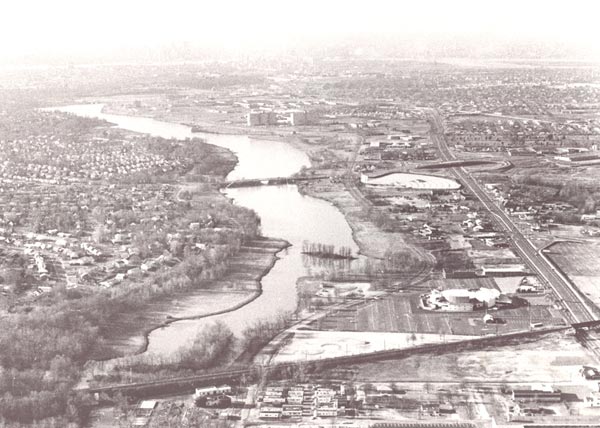
July 7, 1965 — Cooper River west of railroad tracks. Latin Casino in lower right corner. Photo courtesy of Bob Bartosz.
December 1967 — Ferry Avenue and Old White Horse Pike
Aerial Photography by Bob Bartosz
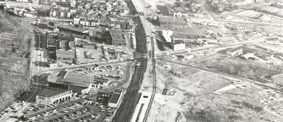
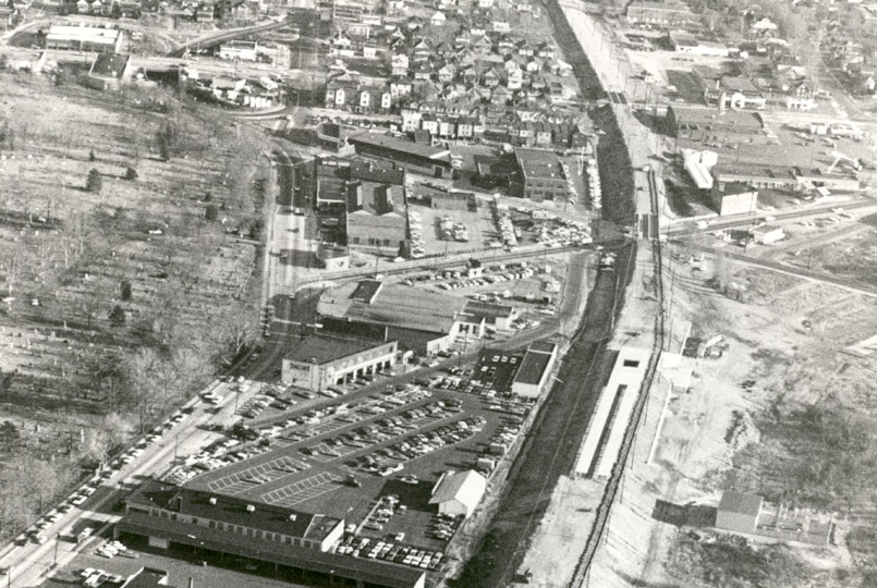
December 1967 — Ferry Avenue & Old White Horse Pike. “X” marks the spot! Photos courtesy of Bob Bartosz.
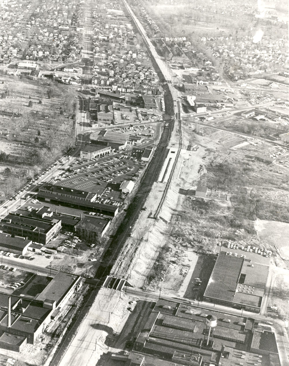
December 1967 — Looking east along PATCO High Speed Line tracks during construction. Photo courtesy of Bob Bartosz.
1970 — Looking Down Market Street from City Hall
Aerial Photography by Bob Bartosz
Cars parked on the roof of the Parkade Building in foreground.
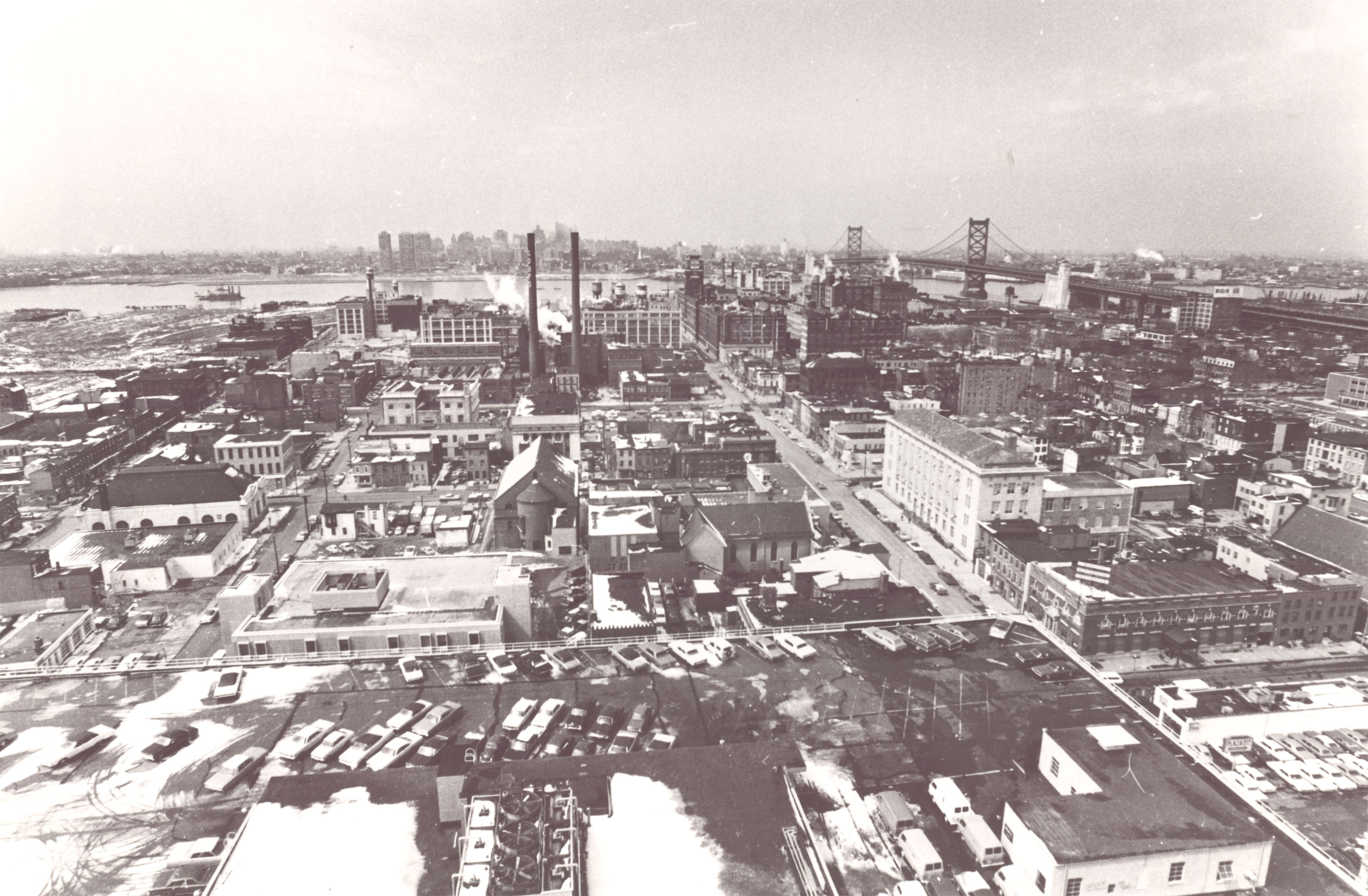
1970 — Looking down Market Street from City Hall. Cars parked on the roof of the Parkade Building in foreground. Photo courtesy of Bob Bartosz.
1996 — Camden Waterfront
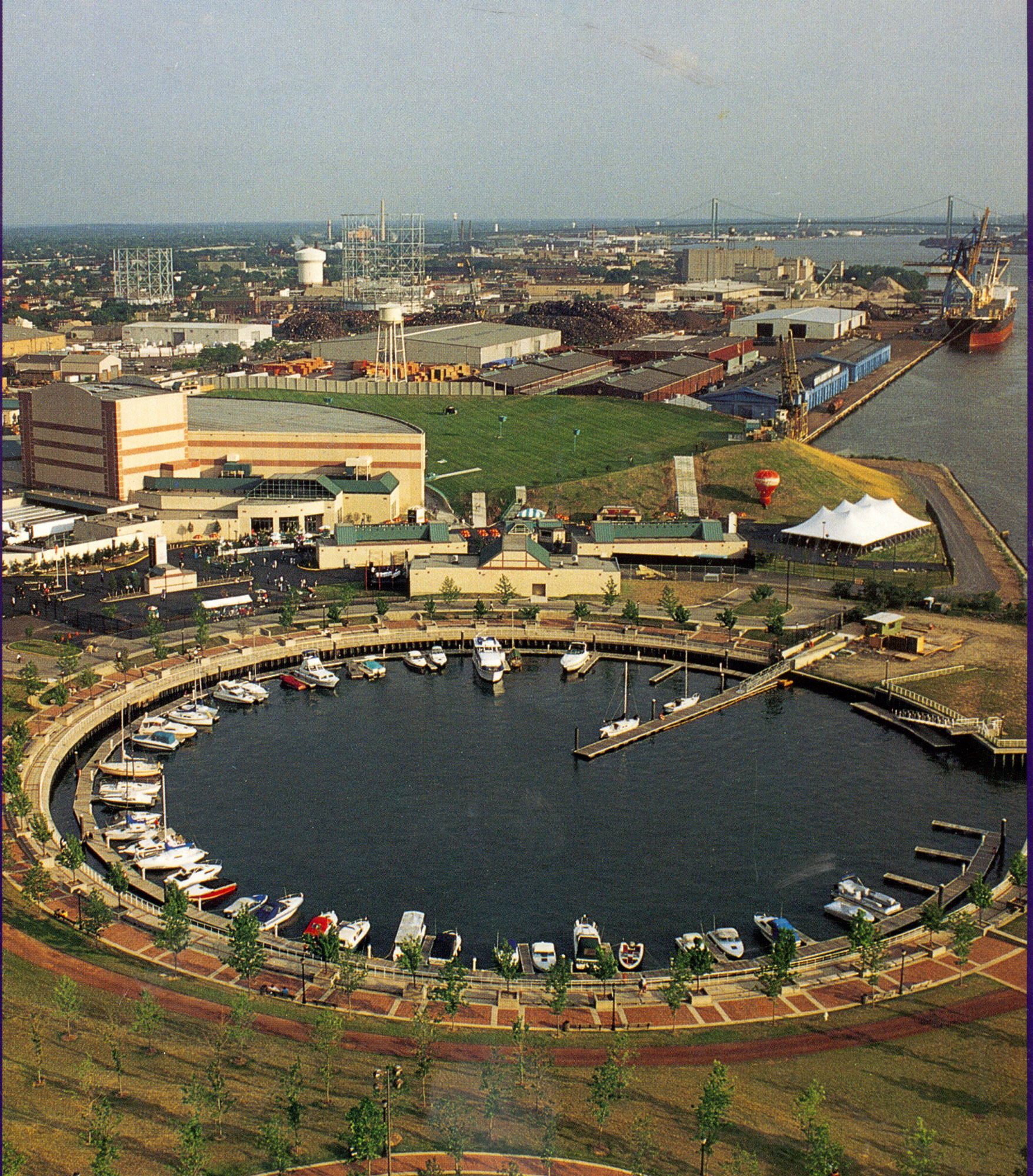
1996 — Looking south along the waterfront from Wiggins Park.
2001 — North Camden
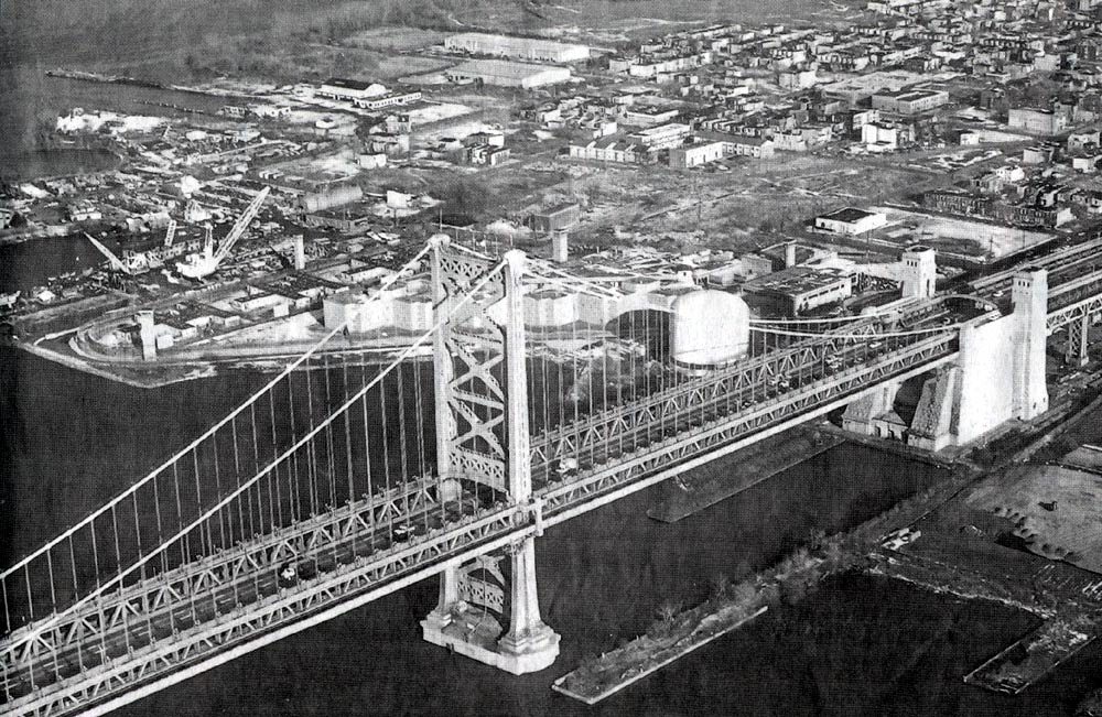
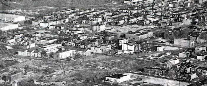
2001 — North Camden. Looking northeast from beyond the Ben Franklin Bridge.
2003 — Camden Waterfront
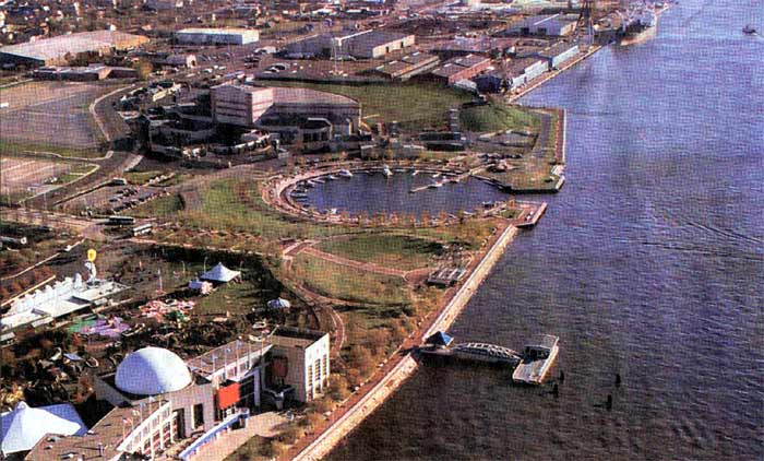
2003 — Waterfront. Looking south along the waterfront from the river west of Campbell Field.