Introduction
Moore Street was a small street that ran eastwardly from North 9th Street towards the Cooper River south of York Street. The street appears in Camden City Directories as early as 1867. Five two-story twin homes were built on the north side of Moore Street prior to 1906. The south side of Moore Street was entirely taken up by the Highland Worsted Mill.
In the 1960’s the houses were all leveled. You could see a small cobblestone street and the foundations of small houses. One more thing about Moore Street. Most streets in North Camden were level, not Moore Street. It dramatically sloped toward the Cooper River. If a baby carriage got away from you there would have been a tragedy.
— Mike Larson, May 2020
Moore Street — 1906 Sanborn Map
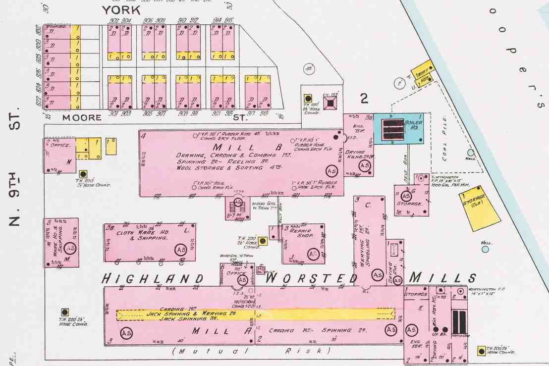
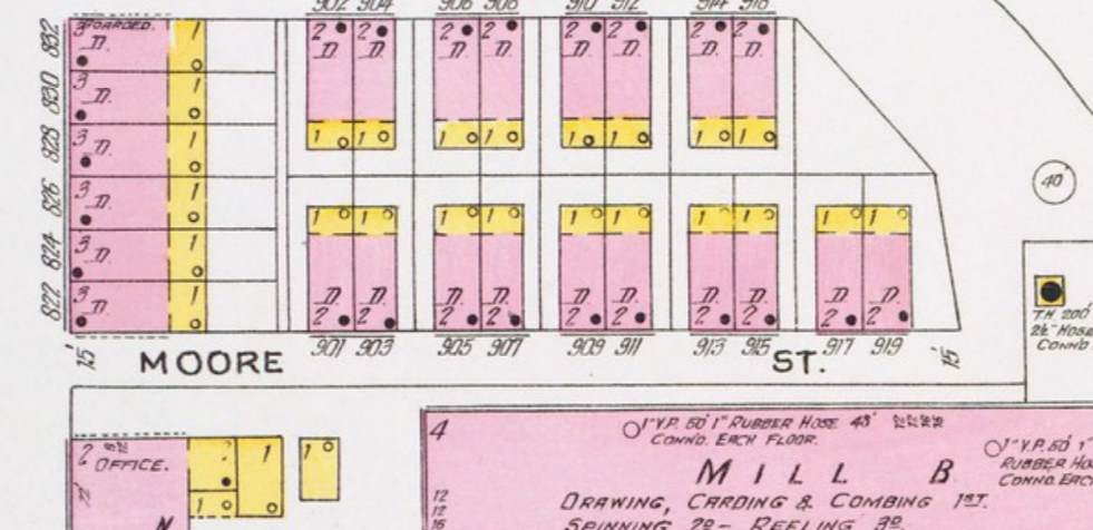
Moore Street, 1906 Sanborn Fire Insurance Map.
900 Block of Moore Street — Addresses
City directory records, 1906.
900 Block of Moore Street
| Year ↕ | Name ↕ |
|---|---|
| 1906 | 901 Moore Street |
| 1906 | 903 Moore Street |
| 1906 | 905 Moore Street |
| 1906 | 907 Moore Street |
| 1906 | 909 Moore Street |
| 1906 | 911 Moore Street |
| 1906 | 913 Moore Street |
| 1906 | 915 Moore Street |
| 1906 | 917 Moore Street |
| 1906 | 919 Moore Street |