Introduction
Edwards Street, when first planned in the 1890s, was intended to run from Van Hook Street to Budd Street, east of Tioga Street and west of Mt. Ephraim Avenue, until it would meet up with Charles Street, and serve as a street along the eastern side of Evergreen Cemetery. The proposed street was soon shortened to run only as far as Central Avenue, and in fact only was built about 60 feet south of Van Hook Street, between 1118 and 1126 Van Hook, and at some point between 1906 and 1961 was re-christened Charles Street. No homes or businesses ever carried an Edwards Street address.
Advertisement
Map Drawn in the 1890s, Published 1914
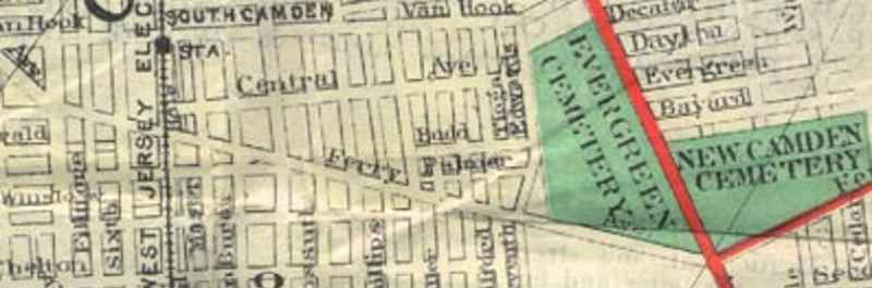
Map drawn up in the 1890s, published 1914, showing the proposed Edwards Street route.
Looking Down What Was Edwards Street, July 2012
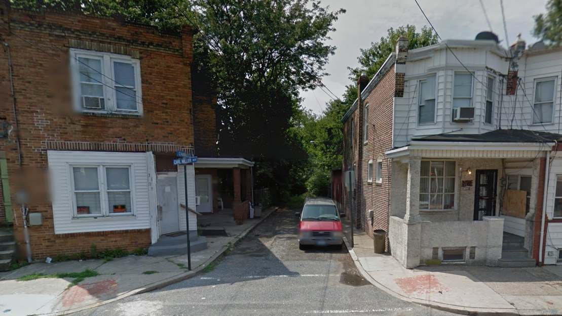
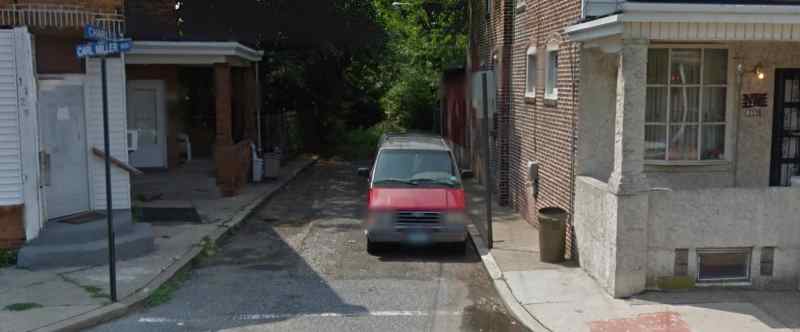
Looking down what was Edwards Street from Van Hook Street, July 2012.
Advertisement