Argonne Street
Argonne Street, named for the World War I Battle of the Argonne Forest, where American forces performed heroically, ran for one block, between St. Mihiel Street and Memorial Avenue, north of Line Street. The original Camden Convention Hall’s street address was 1065–1075 Line Street, but this is a bit deceiving, as the front of the building was on Argonne Street.
Camden Convention Hall was destroyed during the 1950s. Campbell Soup acquired the land where Convention Hall stood, as well as several other parcels of real estate along Memorial Avenue, including the Mechling Brothers factory, to build their corporate headquarters. Argonne Street disappeared as part of that construction.
1946 Map of Camden
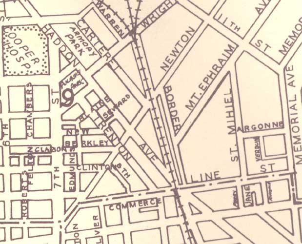
1946 map of Camden. Argonne Street can be found on the right of the map, running east to west between St. Mihiel Street and Memorial Avenue, north of Line Street.
Camden Convention Hall
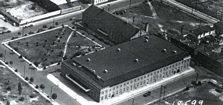
Aerial view of the Camden Convention Hall on Argonne Street.
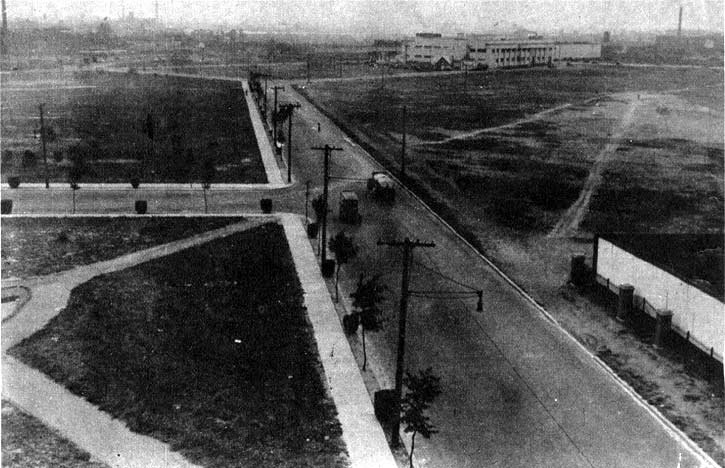
Looking north on Memorial Avenue, 1930. Argonne Street enters from the left. Sears-Roebuck Building in background at right.
Argonne Street, c. 1930s
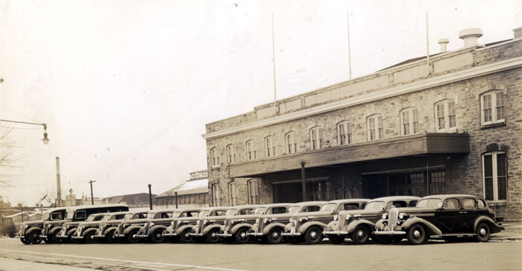
Late 1930s photo of Camden Police Department vehicles lined up on Argonne Street in front of Convention Hall. Photo courtesy of the Lillian Colsey Slomick family.
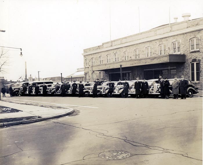
Late 1930s photo of Camden Police Department vehicles lined up on Argonne Street in front of Convention Hall, along with police and officials from Camden’s city government. Photo courtesy of the Lillian Colsey Slomick family.

From left: Unknown Sergeant, Walter Welch, Henry Magin, Ralph Bakley, Chief Arthur Colsey, Mayor George Brunner, Mary W. Kobus, David Rhone, Unknown civilian.